Distance to Traer, Kansas

Calculating Your Route
Just a moment while we process your request...
Location Information
-
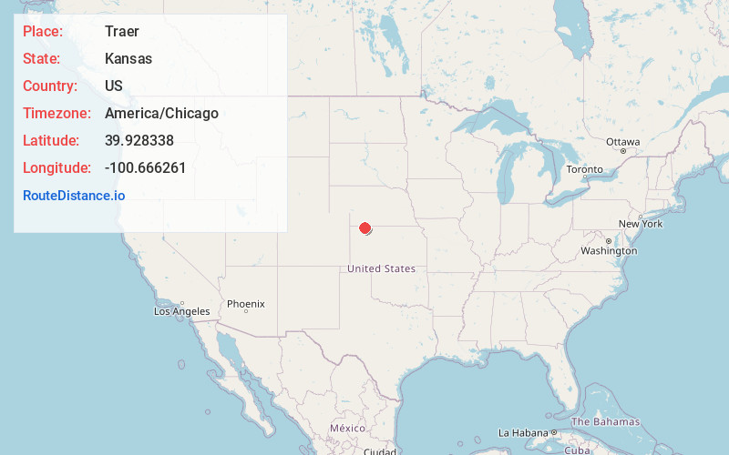
Full AddressTraer, Finley Township, KS 67749
-
Coordinates39.9283378, -100.666261
-
LocationFinley Township , Kansas , US
-
TimezoneAmerica/Chicago
-
Current Local Time6:50:57 PM America/ChicagoThursday, June 19, 2025
-
Page Views0
About Traer
Traer is an unincorporated community in Decatur County, Kansas, United States.
Nearby Places
Found 10 places within 50 miles

Herndon
6.4 mi
10.3 km
Herndon, KS 67739
Get directions

Oberlin
10.6 mi
17.1 km
Oberlin, KS 67749
Get directions

Danbury
15.9 mi
25.6 km
Danbury, NE 69026
Get directions

Ludell
16.3 mi
26.2 km
Ludell, KS
Get directions

Kanona
17.3 mi
27.8 km
Kanona, Altory Township, KS 67749
Get directions

McCook
18.7 mi
30.1 km
McCook, NE 69001
Get directions
Perry
19.7 mi
31.7 km
Perry, NE 69001
Get directions

Atwood
21.6 mi
34.8 km
Atwood, KS 67730
Get directions
Lebanon
22.3 mi
35.9 km
Lebanon, NE 69036
Get directions

Culbertson
22.8 mi
36.7 km
Culbertson, NE 69024
Get directions
Location Links
Local Weather
Weather Information
Coming soon!
Location Map
Static map view of Traer, Kansas
Browse Places by Distance
Places within specific distances from Traer
Short Distances
Long Distances
Click any distance to see all places within that range from Traer. Distances shown in miles (1 mile ≈ 1.61 kilometers).