Distance to Trauger, Pennsylvania

Calculating Your Route
Just a moment while we process your request...
Location Information
-
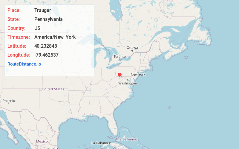
Full AddressTrauger, Mt Pleasant Township, PA 15650
-
Coordinates40.2328483, -79.4625374
-
LocationMt Pleasant Township , Pennsylvania , US
-
TimezoneAmerica/New_York
-
Current Local Time1:00:37 AM America/New_YorkSaturday, June 14, 2025
-
Page Views0
About Trauger
Trauger is an unincorporated community and coal town in Westmoreland County, Pennsylvania, United States.
An architecturally impressive historic structure built in 1914, St. Mary's Byzantine Catholic Church is large brick building in the Spanish Renaissance style.
Nearby Places
Found 10 places within 50 miles

Calumet
1.9 mi
3.1 km
Calumet, PA
Get directions
Mammoth
2.2 mi
3.5 km
Mammoth, PA 15666
Get directions
Norvelt
2.5 mi
4.0 km
Norvelt, PA
Get directions
Hostetter
4.1 mi
6.6 km
Hostetter, PA 15650
Get directions

Unity Township
4.3 mi
6.9 km
Unity Township, PA
Get directions
Maplewood Terrace
5.0 mi
8.0 km
Maplewood Terrace, Hempfield Township, PA 15601
Get directions
Stonevilla
5.2 mi
8.4 km
Stonevilla, Hempfield Township, PA 15601
Get directions
Baggaley
5.3 mi
8.5 km
Baggaley, Unity Township, PA 15650
Get directions

South Greensburg
5.4 mi
8.7 km
South Greensburg, PA 15601
Get directions
Lawson Heights
5.6 mi
9.0 km
Lawson Heights, PA 15650
Get directions
Location Links
Local Weather
Weather Information
Coming soon!
Location Map
Static map view of Trauger, Pennsylvania
Browse Places by Distance
Places within specific distances from Trauger
Short Distances
Long Distances
Click any distance to see all places within that range from Trauger. Distances shown in miles (1 mile ≈ 1.61 kilometers).