Distance to Tremont, Indiana

Calculating Your Route
Just a moment while we process your request...
Location Information
-
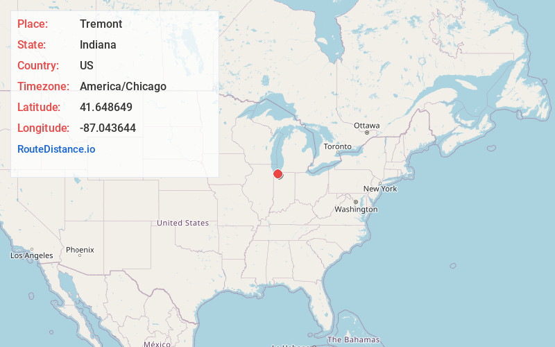
Full AddressTremont, Westchester Township, IN 46304
-
Coordinates41.6486491, -87.0436439
-
LocationWestchester Township , Indiana , US
-
TimezoneAmerica/Chicago
-
Current Local Time8:29:28 PM America/ChicagoTuesday, July 1, 2025
-
Page Views0
About Tremont
Tremont, Indiana, is a ghost town formerly located in what is now the Indiana Dunes State Park and Indiana Dunes National Park in Westchester Township in northern Porter County, Indiana. It was first established in 1833. It was located at the intersection of U.S. Highway 12 and County Road 100 East, near Indiana 49.
Nearby Places
Found 10 places within 50 miles

Indiana Dunes National Park
0.6 mi
1.0 km
Indiana Dunes National Park, Porter, IN 46304
Get directions

Furnessville
1.9 mi
3.1 km
Furnessville, Pine Township, IN 46360
Get directions

Dune Acres
2.2 mi
3.5 km
Dune Acres, IN 46304
Get directions
Graham Woods
2.3 mi
3.7 km
Graham Woods, Westchester Township, IN 46304
Get directions
Brummitt Acres
2.5 mi
4.0 km
Brummitt Acres, Westchester Township, IN 46304
Get directions
Wake Robin Fields
2.5 mi
4.0 km
Wake Robin Fields, Westchester Township, IN 46304
Get directions

Chesterton
2.8 mi
4.5 km
Chesterton, IN 46304
Get directions

Beverly Shores
3.5 mi
5.6 km
Beverly Shores, IN
Get directions

Lake View Beach
3.6 mi
5.8 km
Lake View Beach, Beverly Shores, IN 46360
Get directions
Haglund
4.5 mi
7.2 km
Haglund, Burns Harbor, IN 46304
Get directions
Location Links
Local Weather
Weather Information
Coming soon!
Location Map
Static map view of Tremont, Indiana
Browse Places by Distance
Places within specific distances from Tremont
Short Distances
Long Distances
Click any distance to see all places within that range from Tremont. Distances shown in miles (1 mile ≈ 1.61 kilometers).