Distance to Trenton, Michigan

Calculating Your Route
Just a moment while we process your request...
Location Information
-
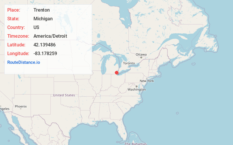
Full AddressTrenton, MI
-
Coordinates42.1394858, -83.1782587
-
LocationTrenton , Michigan , US
-
TimezoneAmerica/Detroit
-
Current Local Time1:22:37 PM America/DetroitThursday, June 19, 2025
-
Website
-
Page Views0
About Trenton
Trenton is a city in Wayne County, Michigan, United States. At the 2010 census, the city population was 18,853.
A Shawnee village was built in the area by war chief Blue Jacket after the 1795 Treaty of Greenville.


Nearby Places
Found 10 places within 50 miles

Southgate
5.2 mi
8.4 km
Southgate, MI
Get directions

Wyandotte
5.4 mi
8.7 km
Wyandotte, MI
Get directions

Lincoln Park
7.7 mi
12.4 km
Lincoln Park, MI 48146
Get directions

Allen Park
8.3 mi
13.4 km
Allen Park, MI 48101
Get directions

Taylor
8.4 mi
13.5 km
Taylor, MI 48180
Get directions

Romulus
12.6 mi
20.3 km
Romulus, MI
Get directions

Dearborn
12.6 mi
20.3 km
Dearborn, MI
Get directions

Inkster
12.6 mi
20.3 km
Inkster, MI 48141
Get directions

Dearborn Heights
14.5 mi
23.3 km
Dearborn Heights, MI
Get directions

Detroit
14.9 mi
24.0 km
Detroit, MI
Get directions
Location Links
Local Weather
Weather Information
Coming soon!
Location Map
Static map view of Trenton, Michigan
Browse Places by Distance
Places within specific distances from Trenton
Short Distances
Long Distances
Click any distance to see all places within that range from Trenton. Distances shown in miles (1 mile ≈ 1.61 kilometers).