Distance to Trinchera, Colorado

Calculating Your Route
Just a moment while we process your request...
Location Information
-
Full AddressTrinchera, CO 81081
-
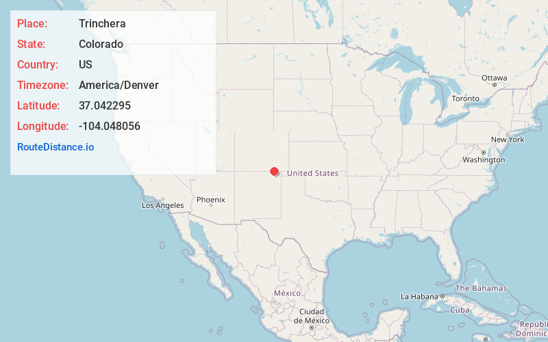
Coordinates37.0422945, -104.0480556
-
LocationTrinchera , Colorado , US
-
TimezoneAmerica/Denver
-
Current Local Time5:09:57 PM America/DenverTuesday, June 3, 2025
-
Page Views0
About Trinchera
Trinchera is an unincorporated community and a U.S. Post Office located in Las Animas County, Colorado, United States. The Trinchera Post Office has the ZIP Code 81081.
A post office called Trinchera has been in operation since 1889. Trinchera is a name derived from Spanish meaning "trench".
Nearby Places
Found 10 places within 50 miles

Branson
9.2 mi
14.8 km
Branson, CO 81027
Get directions

Folsom
15.4 mi
24.8 km
Folsom, NM
Get directions

Sugarite
19.6 mi
31.5 km
Sugarite, NM 87740
Get directions

Capulin
21.0 mi
33.8 km
Capulin, NM 88414
Get directions

Des Moines
22.7 mi
36.5 km
Des Moines, NM 88418
Get directions
Beshoar
23.2 mi
37.3 km
Beshoar, CO 81082
Get directions

Earl
23.8 mi
38.3 km
Earl, CO 81059
Get directions
Keota
24.4 mi
39.3 km
Keota, NM 87740
Get directions
Engleville
24.7 mi
39.8 km
Engleville, CO 81082
Get directions

Hoehne
24.7 mi
39.8 km
Hoehne, CO
Get directions
Location Links
Local Weather
Weather Information
Coming soon!
Location Map
Static map view of Trinchera, Colorado
Browse Places by Distance
Places within specific distances from Trinchera
Short Distances
Long Distances
Click any distance to see all places within that range from Trinchera. Distances shown in miles (1 mile ≈ 1.61 kilometers).