Distance to Trumbull, Nebraska

Calculating Your Route
Just a moment while we process your request...
Location Information
-
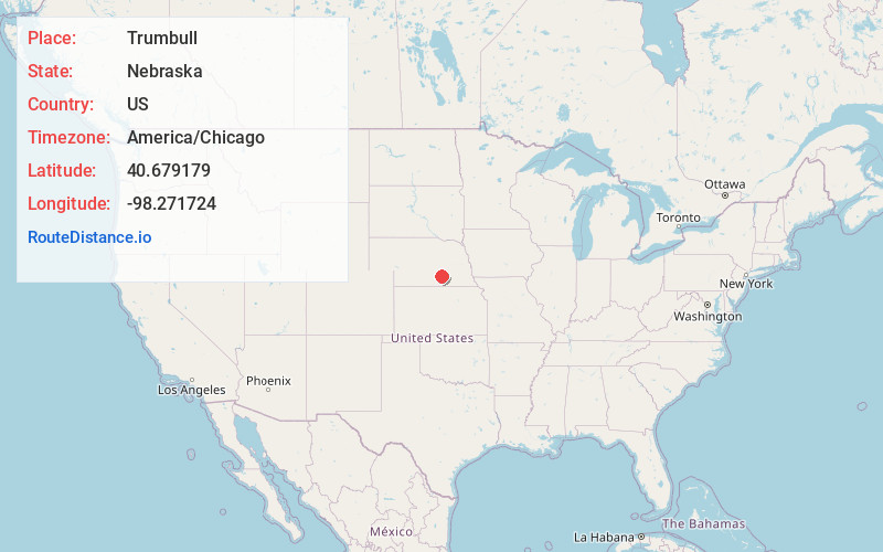
Full AddressTrumbull, NE 68980
-
Coordinates40.6791793, -98.271724
-
LocationTrumbull , Nebraska , US
-
TimezoneAmerica/Chicago
-
Current Local Time4:01:04 PM America/ChicagoFriday, June 20, 2025
-
Page Views0
About Trumbull
Trumbull is a village in Clay and Adams counties in Nebraska, United States. The population was 198 at the 2020 census. It is part of the Hastings, Nebraska Micropolitan Statistical Area.
Nearby Places
Found 10 places within 50 miles

Doniphan
8.2 mi
13.2 km
Doniphan, NE 68832
Get directions

Hastings
8.9 mi
14.3 km
Hastings, NE
Get directions

Giltner
9.0 mi
14.5 km
Giltner, NE 68841
Get directions
Harvard
10.0 mi
16.1 km
Harvard, NE 68944
Get directions
Glenvil
12.1 mi
19.5 km
Glenvil, NE 68941
Get directions
Juniata
13.8 mi
22.2 km
Juniata, NE 68955
Get directions

Phillips
15.4 mi
24.8 km
Phillips, NE 68865
Get directions

Clay Center
15.7 mi
25.3 km
Clay Center, NE 68933
Get directions

Alda
16.7 mi
26.9 km
Alda, NE 68810
Get directions

Grand Island
17.5 mi
28.2 km
Grand Island, NE
Get directions
Location Links
Local Weather
Weather Information
Coming soon!
Location Map
Static map view of Trumbull, Nebraska
Browse Places by Distance
Places within specific distances from Trumbull
Short Distances
Long Distances
Click any distance to see all places within that range from Trumbull. Distances shown in miles (1 mile ≈ 1.61 kilometers).