Distance to Tuck, Kentucky

Calculating Your Route
Just a moment while we process your request...
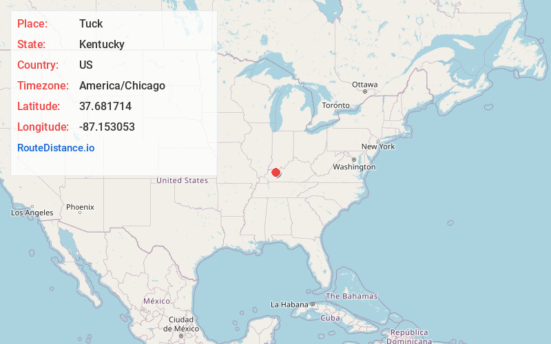
Location Information
-
Full AddressTuck, KY 42301
-
Coordinates37.6817143, -87.153053
-
LocationKentucky , US
-
TimezoneAmerica/Chicago
-
Current Local Time10:23:19 PM America/ChicagoSaturday, June 21, 2025
-
Page Views0
About Tuck
Tuck is an unincorporated community in Daviess County, Kentucky, United States. It is located at the intersection of Highway 554 and Todd Bridge Road. Unincorporated villages of Pettit and Sutherland are located nearby.
Nearby Places
Found 10 places within 50 miles

Pettit
1.3 mi
2.1 km
Pettit, KY 42303
Get directions
Moseleyville
2.6 mi
4.2 km
Moseleyville, KY 42301
Get directions

Rome
3.1 mi
5.0 km
Rome, KY 42301
Get directions
Browns Valley
3.4 mi
5.5 km
Browns Valley, KY 42376
Get directions

Utica
5.9 mi
9.5 km
Utica, KY 42376
Get directions

Owensboro
6.3 mi
10.1 km
Owensboro, KY
Get directions
Masonville
6.5 mi
10.5 km
Masonville, KY 42376
Get directions

West Louisville
7.4 mi
11.9 km
West Louisville, KY 42301
Get directions
Dermont
7.5 mi
12.1 km
Dermont, KY 42303
Get directions
Livia
8.1 mi
13.0 km
Livia, KY 42376
Get directions
Location Links
Local Weather
Weather Information
Coming soon!
Location Map
Static map view of Tuck, Kentucky
Browse Places by Distance
Places within specific distances from Tuck
Short Distances
Long Distances
Click any distance to see all places within that range from Tuck. Distances shown in miles (1 mile ≈ 1.61 kilometers).