Distance to Tucker, Arkansas

Calculating Your Route
Just a moment while we process your request...
Location Information
-
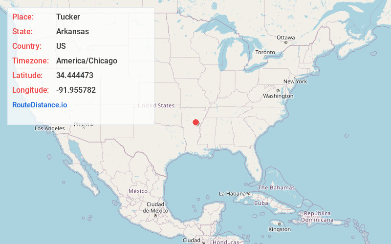
Full AddressTucker, AR
-
Coordinates34.4444733, -91.9557817
-
LocationTucker , Arkansas , US
-
TimezoneAmerica/Chicago
-
Current Local Time11:45:31 PM America/ChicagoTuesday, May 27, 2025
-
Page Views0
About Tucker
Tucker is an Unincorporated community and census-designated place in Jefferson County, Arkansas. It is located 30 miles southeast of Little Rock. It was first listed as a CDP in the 2020 census with a population of 95.

Nearby Places
Found 10 places within 50 miles

Sherrill
4.1 mi
6.6 km
Sherrill, AR 72152
Get directions

England
6.9 mi
11.1 km
England, AR 72046
Get directions
Altheimer
10.6 mi
17.1 km
Altheimer, AR 72004
Get directions
Wabbaseka
10.7 mi
17.2 km
Wabbaseka, AR
Get directions

Keo
11.4 mi
18.3 km
Keo, AR 72046
Get directions

Redfield
13.1 mi
21.1 km
Redfield, AR
Get directions

Humnoke
13.2 mi
21.2 km
Humnoke, AR 72072
Get directions

White Hall
14.2 mi
22.9 km
White Hall, AR 71602
Get directions

Humphrey
14.3 mi
23.0 km
Humphrey, AR
Get directions

Pine Bluff
15.4 mi
24.8 km
Pine Bluff, AR
Get directions
Location Links
Local Weather
Weather Information
Coming soon!
Location Map
Static map view of Tucker, Arkansas
Browse Places by Distance
Places within specific distances from Tucker
Short Distances
Long Distances
Click any distance to see all places within that range from Tucker. Distances shown in miles (1 mile ≈ 1.61 kilometers).