Distance to Tulalip, Washington

Calculating Your Route
Just a moment while we process your request...
Location Information
-
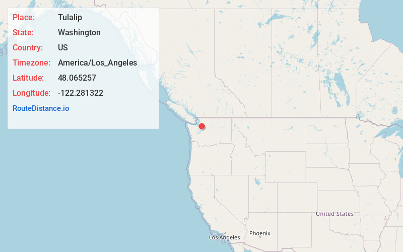
Full AddressTulalip, WA
-
Coordinates48.0652566, -122.2813224
-
LocationTulalip , Washington , US
-
TimezoneAmerica/Los_Angeles
-
Current Local Time11:32:18 PM America/Los_AngelesSaturday, June 21, 2025
-
Page Views0
About Tulalip
Tulalip Bay is a former census-designated place in western Snohomish County, Washington, United States. The population was 1,561 at the 2000 census. The CDP was discontinued at the 2010 census. It is the largest community within the reservation of the federally recognized Tulalip Tribes of Washington.


Nearby Places
Found 10 places within 50 miles

Spee-Bi-Dah
2.6 mi
4.2 km
Spee-Bi-Dah, WA 98271
Get directions

Priest Point
3.1 mi
5.0 km
Priest Point, WA
Get directions

Possession Sound
3.2 mi
5.1 km
Possession Sound, Washington
Get directions
Weallup Lake
3.3 mi
5.3 km
Weallup Lake, WA
Get directions

Tulare Beach
3.8 mi
6.1 km
Tulare Beach, WA 98271
Get directions

Hat Island
4.0 mi
6.4 km
Hat Island, WA
Get directions

Marysville
4.9 mi
7.9 km
Marysville, WA
Get directions

Lake Goodwin
5.1 mi
8.2 km
Lake Goodwin, WA
Get directions
Kayak Point
5.5 mi
8.9 km
Kayak Point, WA 98292
Get directions

Langley
6.0 mi
9.7 km
Langley, WA 98260
Get directions
Location Links
Local Weather
Weather Information
Coming soon!
Location Map
Static map view of Tulalip, Washington
Browse Places by Distance
Places within specific distances from Tulalip
Short Distances
Long Distances
Click any distance to see all places within that range from Tulalip. Distances shown in miles (1 mile ≈ 1.61 kilometers).