Distance to Tumtum, Washington

Calculating Your Route
Just a moment while we process your request...
Location Information
-
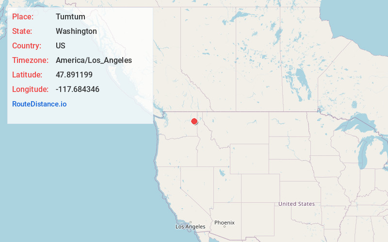
Full AddressTumtum, WA
-
Coordinates47.8911985, -117.6843461
-
LocationTumtum , Washington , US
-
TimezoneAmerica/Los_Angeles
-
Current Local Time1:59:03 PM America/Los_AngelesSaturday, May 31, 2025
-
Page Views0
About Tumtum
Tumtum is an unincorporated community in Stevens County, Washington, United States. Tumtum is located along the Long Lake of the Spokane River, also known as Lake Spokane, and Washington State Route 291 20 miles northwest of Spokane. Tumtum has a ZIP code of 99034.
Tumtum is a Chinook Jargon term meaning "heart/soul".


Nearby Places
Found 10 places within 50 miles

Ford
5.7 mi
9.2 km
Ford, WA 99034
Get directions

Suncrest
7.7 mi
12.4 km
Suncrest, WA
Get directions
Clayton
9.3 mi
15.0 km
Clayton, WA 99110
Get directions

Deer Park
10.6 mi
17.1 km
Deer Park, WA 99006
Get directions

Springdale
11.8 mi
19.0 km
Springdale, WA
Get directions

Loon Lake
12.0 mi
19.3 km
Loon Lake, WA 99148
Get directions
Wellpinit
14.1 mi
22.7 km
Wellpinit, WA 99040
Get directions
Dartford
14.4 mi
23.2 km
Dartford, WA 99208
Get directions
Country Homes
16.3 mi
26.2 km
Country Homes, WA
Get directions

Town and Country
16.6 mi
26.7 km
Town and Country, WA
Get directions
Location Links
Local Weather
Weather Information
Coming soon!
Location Map
Static map view of Tumtum, Washington
Browse Places by Distance
Places within specific distances from Tumtum
Short Distances
Long Distances
Click any distance to see all places within that range from Tumtum. Distances shown in miles (1 mile ≈ 1.61 kilometers).