Distance to Tunkhannock, Pennsylvania

Calculating Your Route
Just a moment while we process your request...
Location Information
-
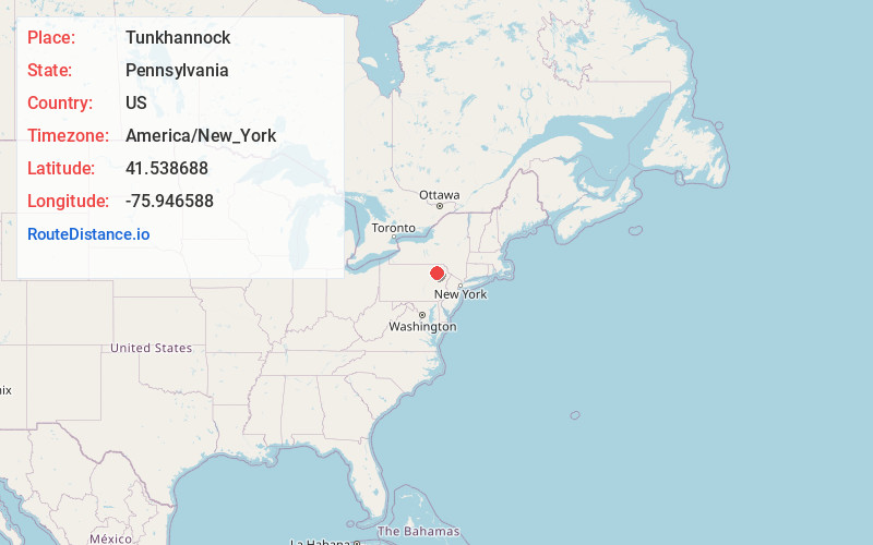
Full AddressTunkhannock, PA 18657
-
Coordinates41.5386878, -75.946588
-
LocationTunkhannock , Pennsylvania , US
-
TimezoneAmerica/New_York
-
Current Local Time3:41:21 PM America/New_YorkTuesday, June 24, 2025
-
Website
-
Page Views0
About Tunkhannock
Tunkhannock is a borough and county seat of Wyoming County, Pennsylvania, United States. Located 31 miles northwest of Wilkes-Barre, Tunkhannock is in the Scranton–Wilkes-Barre–Hazleton, PA Metropolitan Statistical Area. In the past, lumbering was carried on extensively.


Nearby Places
Found 10 places within 50 miles

Clarks Summit
12.8 mi
20.6 km
Clarks Summit, PA 18411
Get directions

Dallas
14.0 mi
22.5 km
Dallas, PA 18612
Get directions

South Abington Township
14.1 mi
22.7 km
South Abington Township, PA 18411
Get directions

Scott
16.4 mi
26.4 km
Scott, PA 18447
Get directions

Exeter
16.5 mi
26.6 km
Exeter, PA 18643
Get directions

Pittston
16.8 mi
27.0 km
Pittston, PA
Get directions

Scranton
17.2 mi
27.7 km
Scranton, PA
Get directions

Dunmore
18.2 mi
29.3 km
Dunmore, PA
Get directions

Plains
18.9 mi
30.4 km
Plains, PA
Get directions

Kingston
19.3 mi
31.1 km
Kingston, PA 18704
Get directions
Location Links
Local Weather
Weather Information
Coming soon!
Location Map
Static map view of Tunkhannock, Pennsylvania
Browse Places by Distance
Places within specific distances from Tunkhannock
Short Distances
Long Distances
Click any distance to see all places within that range from Tunkhannock. Distances shown in miles (1 mile ≈ 1.61 kilometers).