Distance to Turner, Arkansas

Calculating Your Route
Just a moment while we process your request...
Location Information
-
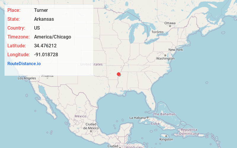
Full AddressTurner, AR 72383
-
Coordinates34.4762115, -91.0187275
-
LocationTurner , Arkansas , US
-
TimezoneAmerica/Chicago
-
Current Local Time2:27:57 PM America/ChicagoFriday, June 20, 2025
-
Page Views0
About Turner
Turner is an unincorporated community in Cypress Township, Phillips County, Arkansas, United States. The community is located at the intersection of Arkansas Highway 316 and the end of a concurrency between Arkansas Highway 1/Arkansas Highway 39. Home to the famous store and the Turner Boy Association
Nearby Places
Found 10 places within 50 miles

Cross Roads
4.4 mi
7.1 km
Cross Roads, AR 72069
Get directions

Indian Bay
7.0 mi
11.3 km
Indian Bay, AR 72069
Get directions
Kingtown
7.4 mi
11.9 km
Kingtown, AR 72366
Get directions
Marvell
8.2 mi
13.2 km
Marvell, AR 72366
Get directions

St Charles
9.8 mi
15.8 km
St Charles, AR
Get directions
Deep Elm
9.8 mi
15.8 km
Deep Elm, AR 72069
Get directions

Poplar Grove
10.6 mi
17.1 km
Poplar Grove, AR 72374
Get directions

Holly Grove
13.2 mi
21.2 km
Holly Grove, AR 72069
Get directions

Oneida
13.5 mi
21.7 km
Oneida, AR 72355
Get directions

Elaine
15.0 mi
24.1 km
Elaine, AR 72333
Get directions
Location Links
Local Weather
Weather Information
Coming soon!
Location Map
Static map view of Turner, Arkansas
Browse Places by Distance
Places within specific distances from Turner
Short Distances
Long Distances
Click any distance to see all places within that range from Turner. Distances shown in miles (1 mile ≈ 1.61 kilometers).