Distance to Tuttle, California

Calculating Your Route
Just a moment while we process your request...
Location Information
-
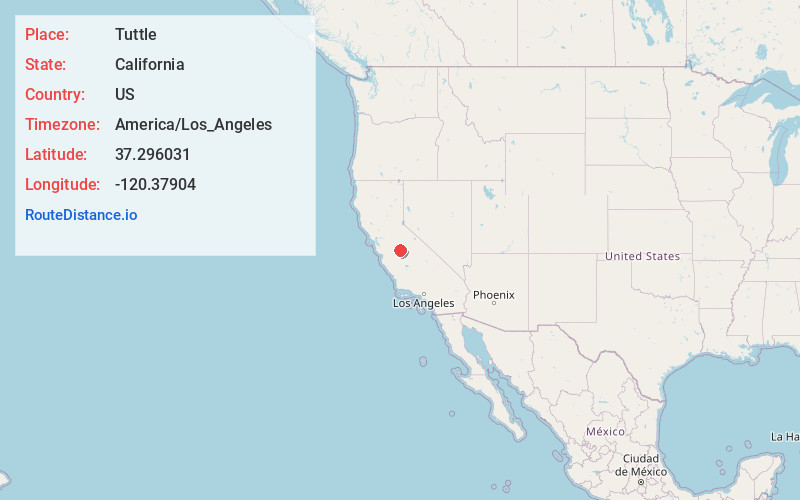
Full AddressTuttle, CA
-
Coordinates37.2960309, -120.3790398
-
LocationTuttle , California , US
-
TimezoneAmerica/Los_Angeles
-
Current Local Time9:21:55 PM America/Los_AngelesSunday, June 22, 2025
-
Page Views0
About Tuttle
Tuttle is an unincorporated community and census-designated place in Merced County, California, United States. It is located on the Atchison, Topeka and Santa Fe Railroad 6 miles east of Merced, the county seat, at an elevation of 207 feet. The population was 102 at the 2020 census.
Nearby Places
Found 10 places within 50 miles

Bear Creek
2.1 mi
3.4 km
Bear Creek, CA 95340
Get directions

Planada
3.3 mi
5.3 km
Planada, CA
Get directions

Merced
5.7 mi
9.2 km
Merced, CA
Get directions

Le Grand
8.6 mi
13.8 km
Le Grand, CA 95333
Get directions

McSwain
12.0 mi
19.3 km
McSwain, CA
Get directions

El Nido
12.8 mi
20.6 km
El Nido, CA 95317
Get directions

Atwater
13.1 mi
21.1 km
Atwater, CA 95301
Get directions

Chowchilla
13.6 mi
21.9 km
Chowchilla, CA 93610
Get directions

Winton
14.4 mi
23.2 km
Winton, CA 95388
Get directions

Snelling
15.8 mi
25.4 km
Snelling, CA 95369
Get directions
Location Links
Local Weather
Weather Information
Coming soon!
Location Map
Static map view of Tuttle, California
Browse Places by Distance
Places within specific distances from Tuttle
Short Distances
Long Distances
Click any distance to see all places within that range from Tuttle. Distances shown in miles (1 mile ≈ 1.61 kilometers).