Distance to Twickenham, Oregon

Calculating Your Route
Just a moment while we process your request...
Location Information
-
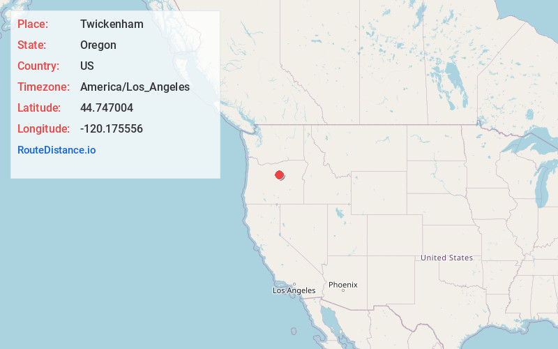
Full AddressTwickenham, OR 97750
-
Coordinates44.7470037, -120.1755562
-
LocationTwickenham , Oregon , US
-
TimezoneAmerica/Los_Angeles
-
Current Local Time10:27:13 AM America/Los_AngelesSaturday, May 31, 2025
-
Page Views0
About Twickenham
Twickenham is an unincorporated community in Wheeler County, in the U.S. state of Oregon. It is located along the John Day River between Service Creek and Mitchell, Oregon. A bridge at Twickenham carries North Twickenham Road over the river.
Nearby Places
Found 10 places within 50 miles

Service Creek
9.0 mi
14.5 km
Service Creek, OR 97830
Get directions
Alder Mountain
10.9 mi
17.5 km
Alder Mountain, Oregon 97830
Get directions

Mitchell
12.5 mi
20.1 km
Mitchell, OR 97750
Get directions

Fossil
17.5 mi
28.2 km
Fossil, OR 97830
Get directions

Clarno
18.6 mi
29.9 km
Clarno, OR 97830
Get directions
Spoos Mill
18.6 mi
29.9 km
Spoos Mill, OR 97750
Get directions

Spray
19.7 mi
31.7 km
Spray, OR 97874
Get directions

Kilts
20.6 mi
33.2 km
Kilts, OR 97711
Get directions

Mayville
23.2 mi
37.3 km
Mayville, OR 97830
Get directions

Thirtymile Creek
25.3 mi
40.7 km
Thirtymile Creek, Oregon
Get directions
Location Links
Local Weather
Weather Information
Coming soon!
Location Map
Static map view of Twickenham, Oregon
Browse Places by Distance
Places within specific distances from Twickenham
Short Distances
Long Distances
Click any distance to see all places within that range from Twickenham. Distances shown in miles (1 mile ≈ 1.61 kilometers).