Distance to Two Rock, California

Calculating Your Route
Just a moment while we process your request...
Location Information
-
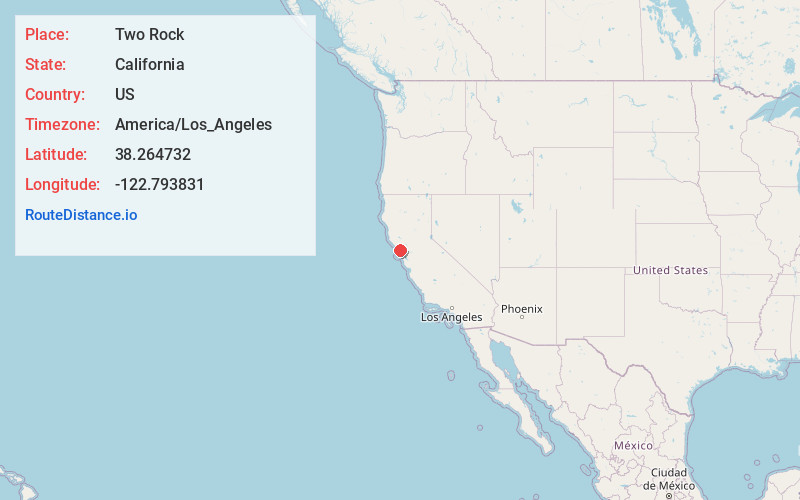
Full AddressTwo Rock, CA 94952
-
Coordinates38.264732, -122.793831
-
LocationTwo Rock , California , US
-
TimezoneAmerica/Los_Angeles
-
Current Local Time11:32:53 AM America/Los_AngelesTuesday, June 24, 2025
-
Page Views0
About Two Rock
Two Rock is an unincorporated community in Sonoma County, California, United States. It is located on Stemple Creek in a rural area west of Petaluma. A hill named Dos Piedras overlooks the community from the north.

Nearby Places
Found 10 places within 50 miles

Stony Point
4.5 mi
7.2 km
Stony Point, CA 94952
Get directions

Bloomfield
4.7 mi
7.6 km
Bloomfield, CA 94952
Get directions

Liberty
5.2 mi
8.4 km
Liberty, CA 94952
Get directions
Turner
5.3 mi
8.5 km
Turner, CA 95472
Get directions
Hessel
5.8 mi
9.3 km
Hessel, CA 95472
Get directions
Fallon
6.2 mi
10.0 km
Fallon, CA 94971
Get directions

Tomales
6.2 mi
10.0 km
Tomales, CA 94971
Get directions

Cotati
6.4 mi
10.3 km
Cotati, CA 94931
Get directions

Gravenstein Union Elementary School District
6.4 mi
10.3 km
Gravenstein Union Elementary School District, CA
Get directions
Cadwell
6.5 mi
10.5 km
Cadwell, CA 95472
Get directions
Location Links
Local Weather
Weather Information
Coming soon!
Location Map
Static map view of Two Rock, California
Browse Places by Distance
Places within specific distances from Two Rock
Short Distances
Long Distances
Click any distance to see all places within that range from Two Rock. Distances shown in miles (1 mile ≈ 1.61 kilometers).