Distance to Uhs Kug, Arizona

Calculating Your Route
Just a moment while we process your request...
Location Information
-
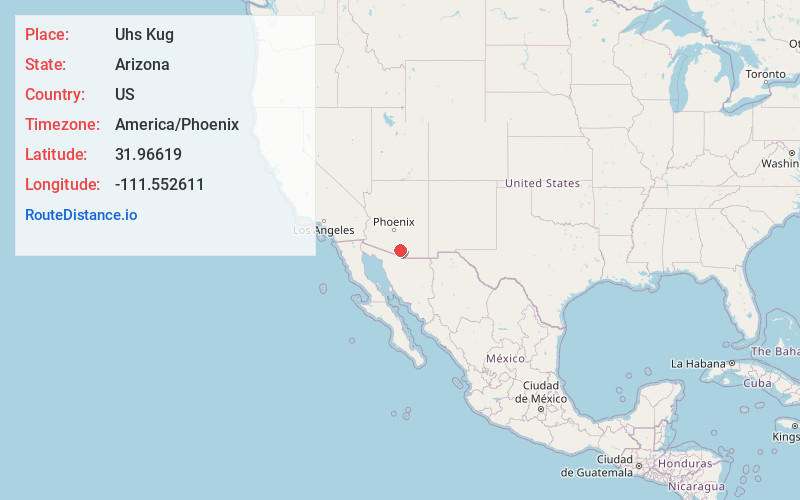
Full AddressUhs Kug, AZ 85735
-
Coordinates31.9661898, -111.5526114
-
LocationArizona , US
-
TimezoneAmerica/Phoenix
-
Current Local Time3:49:48 AM America/PhoenixSaturday, June 21, 2025
-
Page Views0
About Uhs Kug
Uhs Kug is a populated place situated in Pima County, Arizona, United States. It has an estimated elevation of 4,081 feet above sea level. The name is derived from the O'odham phrase, u:s ke:k, meaning "stick standing".
Nearby Places
Found 10 places within 50 miles

San Vicente Wash
7.2 mi
11.6 km
San Vicente Wash, Arizona 85735
Get directions
Haivana Nakya
9.8 mi
15.8 km
Haivana Nakya, AZ 85634
Get directions

Ali Molina
13.7 mi
22.0 km
Ali Molina, AZ 85634
Get directions
Ali Chukson
15.1 mi
24.3 km
Ali Chukson, AZ 85634
Get directions
Diamond Bell Ranch
15.9 mi
25.6 km
Diamond Bell Ranch, AZ 85736
Get directions

Three Points
15.9 mi
25.6 km
Three Points, AZ
Get directions
Puertocito Wash
18.8 mi
30.3 km
Puertocito Wash, Arizona 85736
Get directions

Topawa
19.2 mi
30.9 km
Topawa, AZ 85639
Get directions

Sells
19.6 mi
31.5 km
Sells, AZ 85634
Get directions
Kuit Vaya
21.3 mi
34.3 km
Kuit Vaya, AZ 85639
Get directions
Location Links
Local Weather
Weather Information
Coming soon!
Location Map
Static map view of Uhs Kug, Arizona
Browse Places by Distance
Places within specific distances from Uhs Kug
Short Distances
Long Distances
Click any distance to see all places within that range from Uhs Kug. Distances shown in miles (1 mile ≈ 1.61 kilometers).