Distance to Topawa, Arizona

Calculating Your Route
Just a moment while we process your request...
Location Information
-
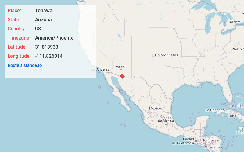
Full AddressTopawa, AZ 85639
-
Coordinates31.8139326, -111.8260138
-
LocationTopawa , Arizona , US
-
TimezoneAmerica/Phoenix
-
Current Local Time11:01:17 AM America/PhoenixFriday, May 30, 2025
-
Page Views0
About Topawa
Topawa is a census-designated place and unincorporated community in Pima County, Arizona, United States. The population was 315 as of the 2020 census. Topawa is located on the Tohono O'odham Nation reservation, 7.5 miles south-southeast of Sells. Topawa has a post office with ZIP code 85639.


Nearby Places
Found 7 places within 50 miles

Sells
7.5 mi
12.1 km
Sells, AZ 85634
Get directions

Arivaca
33.4 mi
53.8 km
Arivaca, AZ 85601
Get directions

Three Points
35.1 mi
56.5 km
Three Points, AZ
Get directions

Santa Rosa
37.4 mi
60.2 km
Santa Rosa, AZ 85634
Get directions

Valencia West
47.2 mi
76.0 km
Valencia West, AZ
Get directions

Tubac
47.9 mi
77.1 km
Tubac, AZ
Get directions

Green Valley
48.9 mi
78.7 km
Green Valley, AZ
Get directions
Location Links
Local Weather
Weather Information
Coming soon!
Location Map
Static map view of Topawa, Arizona
Browse Places by Distance
Places within specific distances from Topawa
Short Distances
Long Distances
Click any distance to see all places within that range from Topawa. Distances shown in miles (1 mile ≈ 1.61 kilometers).