Distance to Ulmar, California

Calculating Your Route
Just a moment while we process your request...
Location Information
-
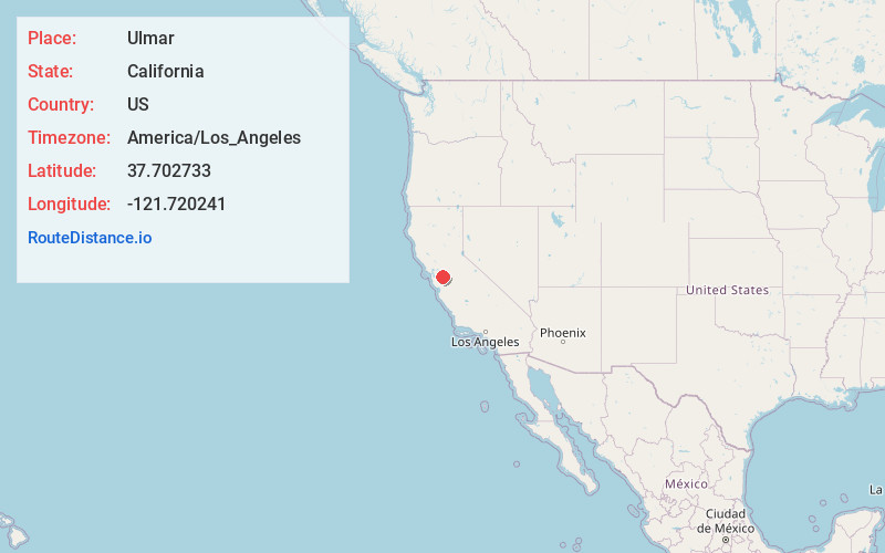
Full AddressUlmar, Livermore, CA 94550
-
Coordinates37.7027332, -121.7202411
-
NeighborhoodUlmar
-
LocationLivermore , California , US
-
TimezoneAmerica/Los_Angeles
-
Current Local Time4:33:56 AM America/Los_AngelesMonday, June 16, 2025
-
Page Views0
About Ulmar
Ulmar is a neighborhood of the city of Livermore in Alameda County, California. Prior to its annexation into Livermore, Ulmar was an unincorporated community. It lies at an elevation of 551 feet. This former railway siding had a median estimated home value of $777,110 for 2017-2022.
Nearby Places
Found 10 places within 50 miles

Livermore
3.0 mi
4.8 km
Livermore, CA
Get directions

Altamont
4.2 mi
6.8 km
Altamont, CA 94551
Get directions

East Pleasanton
6.3 mi
10.1 km
East Pleasanton, CA 94566
Get directions
Radum
7.9 mi
12.7 km
Radum, Pleasanton, CA 94566
Get directions
Mendenhall Springs
8.9 mi
14.3 km
Mendenhall Springs, CA 94550
Get directions

Pleasanton
9.0 mi
14.5 km
Pleasanton, CA
Get directions
Verona
10.2 mi
16.4 km
Verona, CA 94566
Get directions

Dublin
10.4 mi
16.7 km
Dublin, CA 94568
Get directions

Camino Tassajara
10.9 mi
17.5 km
Camino Tassajara, CA 94506
Get directions

Sunol
11.9 mi
19.2 km
Sunol, CA
Get directions
Location Links
Local Weather
Weather Information
Coming soon!
Location Map
Static map view of Ulmar, California
Browse Places by Distance
Places within specific distances from Ulmar
Short Distances
Long Distances
Click any distance to see all places within that range from Ulmar. Distances shown in miles (1 mile ≈ 1.61 kilometers).