Distance to Umpqua, Oregon

Calculating Your Route
Just a moment while we process your request...
Location Information
-
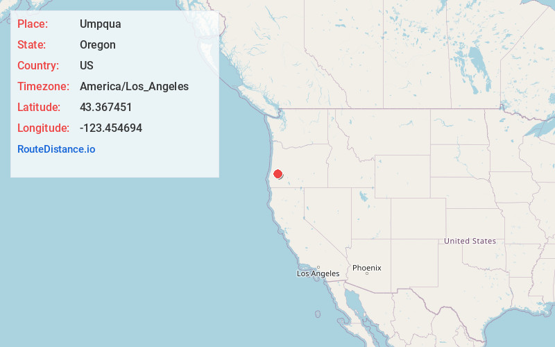
Full AddressUmpqua, OR 97486
-
Coordinates43.3674511, -123.4546944
-
LocationUmpqua , Oregon , US
-
TimezoneAmerica/Los_Angeles
-
Current Local Time6:38:30 AM America/Los_AngelesWednesday, June 18, 2025
-
Page Views0
About Umpqua
Umpqua is an unincorporated community in Douglas County, in the U.S. state of Oregon. The population was 112 at the 2000 census.
The community lies west of Sutherlin at the confluence of Calapooya Creek with the Umpqua River.

Nearby Places
Found 10 places within 50 miles

Tyee
7.1 mi
11.4 km
Tyee, OR 97486
Get directions

Riversdale
7.2 mi
11.6 km
Riversdale, OR 97471
Get directions

Sutherlin
7.3 mi
11.7 km
Sutherlin, OR
Get directions
Elgarose
7.7 mi
12.4 km
Elgarose, OR 97471
Get directions

Roseburg North
8.0 mi
12.9 km
Roseburg North, OR
Get directions

Melrose
8.3 mi
13.4 km
Melrose, OR 97471
Get directions

Oakland
8.7 mi
14.0 km
Oakland, OR 97462
Get directions

Roseburg
11.9 mi
19.2 km
Roseburg, OR
Get directions
Fair Oaks
12.7 mi
20.4 km
Fair Oaks, OR
Get directions

Lookingglass
13.1 mi
21.1 km
Lookingglass, OR 97471
Get directions
Location Links
Local Weather
Weather Information
Coming soon!
Location Map
Static map view of Umpqua, Oregon
Browse Places by Distance
Places within specific distances from Umpqua
Short Distances
Long Distances
Click any distance to see all places within that range from Umpqua. Distances shown in miles (1 mile ≈ 1.61 kilometers).