Distance to Union Hill, Alabama

Calculating Your Route
Just a moment while we process your request...
Location Information
-
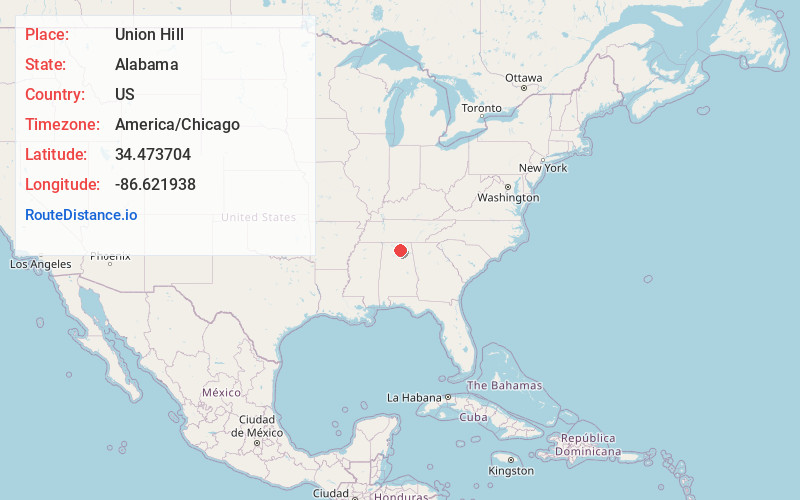
Full AddressUnion Hill, AL 35670
-
Coordinates34.4737035, -86.6219379
-
LocationUnion Hill , Alabama , US
-
TimezoneAmerica/Chicago
-
Current Local Time5:36:08 AM America/ChicagoSunday, June 8, 2025
-
Page Views0
About Union Hill
Union Hill, also known as Wolff, is an unincorporated community in the eastern portion of Morgan County, Alabama, United States. It is one of the highest points on Brindlee Mountain, part of the Appalachian Mountains. The area consists of Union Hill School, Union Hill Senior Center and New Canaan Baptist Church.
Nearby Places
Found 10 places within 50 miles

Fowler Spring
3.8 mi
6.1 km
Fowler Spring, Alabama 35670
Get directions
Hobbs Island
6.6 mi
10.6 km
Hobbs Island, AL 35803
Get directions
Farley
9.1 mi
14.6 km
Farley, Huntsville, AL 35803
Get directions

Somerville
10.1 mi
16.3 km
Somerville, AL
Get directions

Triana
10.3 mi
16.6 km
Triana, AL 35756
Get directions
Bluff City
10.4 mi
16.7 km
Bluff City, AL 35670
Get directions

Union Grove
11.0 mi
17.7 km
Union Grove, AL 35175
Get directions

Owens Cross Roads
12.2 mi
19.6 km
Owens Cross Roads, AL
Get directions
Sunset Acres
12.3 mi
19.8 km
Sunset Acres, Arab, AL 35016
Get directions

Eva
12.5 mi
20.1 km
Eva, AL 35621
Get directions
Location Links
Local Weather
Weather Information
Coming soon!
Location Map
Static map view of Union Hill, Alabama
Browse Places by Distance
Places within specific distances from Union Hill
Short Distances
Long Distances
Click any distance to see all places within that range from Union Hill. Distances shown in miles (1 mile ≈ 1.61 kilometers).