Distance to University of Central Arkansas, Arkansas

Calculating Your Route
Just a moment while we process your request...
Location Information
-
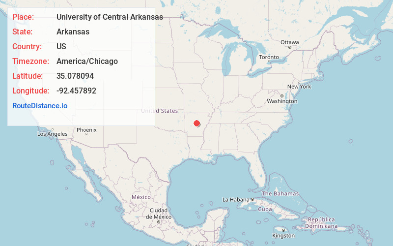
Full AddressUniversity of Central Arkansas, 201 Donaghey Ave, Conway, AR 72035
-
Coordinates35.0780939, -92.4578916
-
Street201 Donaghey Ave
-
LocationConway , Arkansas , US
-
TimezoneAmerica/Chicago
-
Current Local Time10:16:59 AM America/ChicagoTuesday, June 3, 2025
-
Website
-
Page Views0


Nearby Places
Found 10 places within 50 miles

Conway
1.5 mi
2.4 km
Conway, AR
Get directions

Menifee
7.4 mi
11.9 km
Menifee, AR
Get directions

Mayflower
8.5 mi
13.7 km
Mayflower, AR
Get directions

Wooster
8.6 mi
13.8 km
Wooster, AR
Get directions

Fourche
10.8 mi
17.4 km
Fourche, AR 72016
Get directions
Bigelow
11.1 mi
17.9 km
Bigelow, AR 72016
Get directions

Greenbrier
11.5 mi
18.5 km
Greenbrier, AR 72058
Get directions
Plumerville
11.8 mi
19.0 km
Plumerville, AR 72127
Get directions

Holland
12.2 mi
19.6 km
Holland, AR
Get directions

Roland
12.4 mi
20.0 km
Roland, AR 72135
Get directions
Location Links
Local Weather
Weather Information
Coming soon!
Location Map
Static map view of University of Central Arkansas, Arkansas
Browse Places by Distance
Places within specific distances from University of Central Arkansas
Short Distances
Long Distances
Click any distance to see all places within that range from University of Central Arkansas. Distances shown in miles (1 mile ≈ 1.61 kilometers).