Distance to Upham, North Dakota

Calculating Your Route
Just a moment while we process your request...
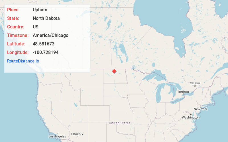
Location Information
-
Full AddressUpham, ND 58789
-
Coordinates48.5816728, -100.7281937
-
LocationUpham , North Dakota , US
-
TimezoneAmerica/Chicago
-
Current Local Time12:12:10 AM America/ChicagoFriday, June 20, 2025
-
Page Views0
About Upham
Upham is a city in McHenry County, North Dakota, United States. The population was 135 at the 2020 census. It is part of the Minot Micropolitan Statistical Area. Upham was founded in 1905.
Nearby Places
Found 10 places within 50 miles

Bottineau
21.3 mi
34.3 km
Bottineau, ND 58318
Get directions

Towner
22.0 mi
35.4 km
Towner, ND 58788
Get directions

Granville
22.3 mi
35.9 km
Granville, ND 58741
Get directions
Glenburn
23.0 mi
37.0 km
Glenburn, ND 58740
Get directions
Westhope
26.3 mi
42.3 km
Westhope, ND 58793
Get directions

Minot Air Force Base
29.6 mi
47.6 km
Minot Air Force Base, ND
Get directions
Lansford
29.8 mi
48.0 km
Lansford, ND
Get directions

Surrey
30.2 mi
48.6 km
Surrey, ND
Get directions

Dunseith
34.4 mi
55.4 km
Dunseith, ND 58329
Get directions

Minot
35.4 mi
57.0 km
Minot, ND
Get directions
Location Links
Local Weather
Weather Information
Coming soon!
Location Map
Static map view of Upham, North Dakota
Browse Places by Distance
Places within specific distances from Upham
Short Distances
Long Distances
Click any distance to see all places within that range from Upham. Distances shown in miles (1 mile ≈ 1.61 kilometers).