Distance to Upper Blue Licks, Kentucky

Calculating Your Route
Just a moment while we process your request...
Location Information
-
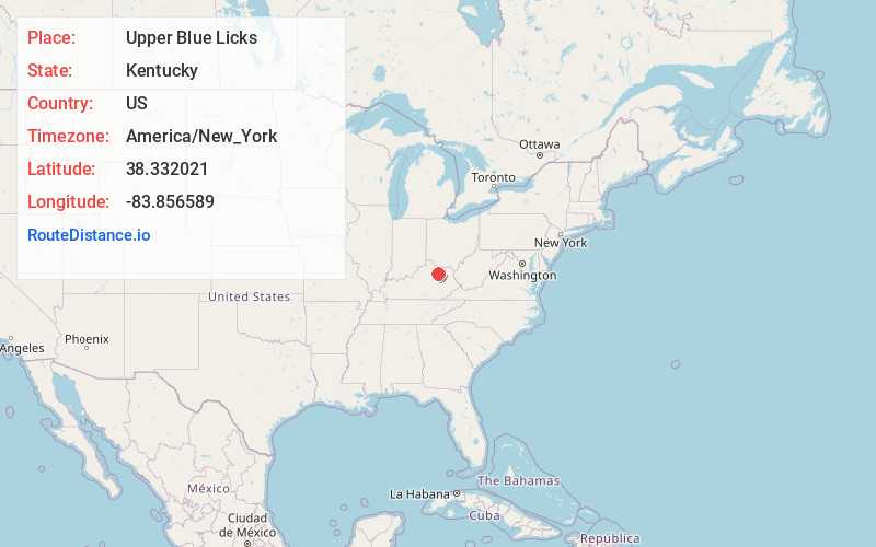
Full AddressUpper Blue Licks, KY 40350
-
Coordinates38.3320211, -83.8565888
-
LocationKentucky , US
-
TimezoneAmerica/New_York
-
Current Local Time11:59:11 AM America/New_YorkFriday, June 13, 2025
-
Page Views0
About Upper Blue Licks
Upper Blue Licks is an unincorporated community located in Nicholas County, Kentucky, United States. Its post office closed in 1873.
Area first discovered by Simon Kenton and Thomas Williams. March, 1775
Nearby Places
Found 10 places within 50 miles

Sherburne
4.5 mi
7.2 km
Sherburne, KY 41041
Get directions
Pleasant Valley
5.5 mi
8.9 km
Pleasant Valley, KY 40311
Get directions
Bethel
6.0 mi
9.7 km
Bethel, KY 40374
Get directions
Elizaville
6.3 mi
10.1 km
Elizaville, KY
Get directions
Ewing
6.6 mi
10.6 km
Ewing, KY 41039
Get directions
Pebble
7.0 mi
11.3 km
Pebble, KY 40360
Get directions
Nepton
7.2 mi
11.6 km
Nepton, KY 41041
Get directions

Flemingsburg
9.1 mi
14.6 km
Flemingsburg, KY 41041
Get directions
Oakla
9.2 mi
14.8 km
Oakla, KY 40360
Get directions

Carlisle
9.4 mi
15.1 km
Carlisle, KY 40311
Get directions
Location Links
Local Weather
Weather Information
Coming soon!
Location Map
Static map view of Upper Blue Licks, Kentucky
Browse Places by Distance
Places within specific distances from Upper Blue Licks
Short Distances
Long Distances
Click any distance to see all places within that range from Upper Blue Licks. Distances shown in miles (1 mile ≈ 1.61 kilometers).