Distance to Carlisle, Kentucky

Calculating Your Route
Just a moment while we process your request...
Location Information
-
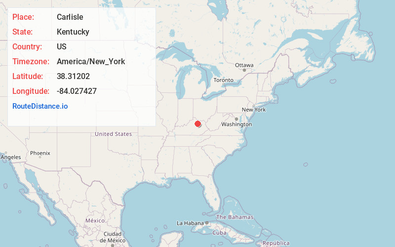
Full AddressCarlisle, KY 40311
-
Coordinates38.3120197, -84.027427
-
LocationCarlisle , Kentucky , US
-
TimezoneAmerica/New_York
-
Current Local Time6:28:17 AM America/New_YorkFriday, June 20, 2025
-
Page Views0
About Carlisle
Carlisle is a home rule-class city in Nicholas County, Kentucky, United States. The population was 2,010 at the 2010 census. It is the county seat of Nicholas County. It is located at the junction of Kentucky Route 32 and Kentucky Route 36, about halfway between Lexington and Maysville.


Nearby Places
Found 10 places within 50 miles

Paris
14.1 mi
22.7 km
Paris, KY 40361
Get directions

Cynthiana
15.4 mi
24.8 km
Cynthiana, KY 41031
Get directions

Flemingsburg
17.6 mi
28.3 km
Flemingsburg, KY 41041
Get directions

Mt Sterling
18.2 mi
29.3 km
Mt Sterling, KY 40353
Get directions

Winchester
23.7 mi
38.1 km
Winchester, KY 40391
Get directions

Maysville
27.4 mi
44.1 km
Maysville, KY 41056
Get directions

Georgetown
29.7 mi
47.8 km
Georgetown, KY 40324
Get directions

Lexington
32.5 mi
52.3 km
Lexington, KY
Get directions

Morehead
33.4 mi
53.8 km
Morehead, KY 40351
Get directions

Stanton
33.5 mi
53.9 km
Stanton, KY 40380
Get directions
Location Links
Local Weather
Weather Information
Coming soon!
Location Map
Static map view of Carlisle, Kentucky
Browse Places by Distance
Places within specific distances from Carlisle
Short Distances
Long Distances
Click any distance to see all places within that range from Carlisle. Distances shown in miles (1 mile ≈ 1.61 kilometers).