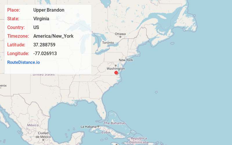
Distance to Upper Brandon, Virginia

Calculating Your Route
Just a moment while we process your request...
Location Information
-
Full AddressUpper Brandon, VA 23881
-
Coordinates37.2887593, -77.0269127
-
LocationVirginia , US
-
TimezoneAmerica/New_York
-
Current Local Time5:32:07 AM America/New_YorkWednesday, June 18, 2025
-
Page Views0
Nearby Places
Found 10 places within 50 miles

Weyanoke
2.1 mi
3.4 km
Weyanoke, VA 23030
Get directions
Brandon
2.7 mi
4.3 km
Brandon, VA 23881
Get directions
Sherwood Forest
3.2 mi
5.1 km
Sherwood Forest, VA 23030
Get directions
Claremont Manor
4.5 mi
7.2 km
Claremont Manor, Claremont, VA 23899
Get directions

Charles City
4.5 mi
7.2 km
Charles City, VA 23030
Get directions

Claremont
5.4 mi
8.7 km
Claremont, VA
Get directions
Ruthville
5.5 mi
8.9 km
Ruthville, VA 23030
Get directions
Tettington
5.5 mi
8.9 km
Tettington, VA 23030
Get directions
Burrowsville
5.8 mi
9.3 km
Burrowsville, VA 23881
Get directions
Garysville
7.8 mi
12.6 km
Garysville, VA 23860
Get directions
Location Links
Local Weather
Weather Information
Coming soon!
Location Map
Static map view of Upper Brandon, Virginia
Browse Places by Distance
Places within specific distances from Upper Brandon
Short Distances
Long Distances
Click any distance to see all places within that range from Upper Brandon. Distances shown in miles (1 mile ≈ 1.61 kilometers).