Distance to Claremont, Virginia

Calculating Your Route
Just a moment while we process your request...
Location Information
-
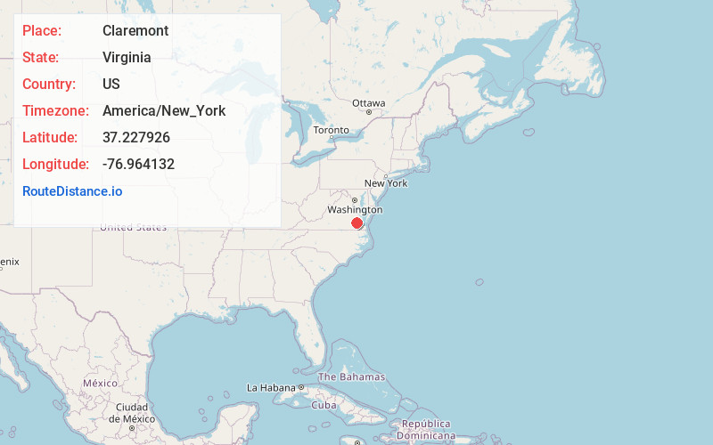
Full AddressClaremont, VA
-
Coordinates37.2279264, -76.9641321
-
LocationClaremont , Virginia , US
-
TimezoneAmerica/New_York
-
Current Local Time4:31:14 AM America/New_YorkSunday, June 15, 2025
-
Page Views0
About Claremont
Claremont is an incorporated town in Surry County, Virginia, United States. The population was 378 at the 2010 census. A granite marker is a memorial to British settlers' arrival in the area. It received its name during the colonial era from the royal residence in Surry Shire in England.

Nearby Places
Found 10 places within 50 miles

Williamsburg
14.4 mi
23.2 km
Williamsburg, VA
Get directions

Waverly
15.1 mi
24.3 km
Waverly, VA 23890
Get directions

Disputanta
16.1 mi
25.9 km
Disputanta, VA 23842
Get directions

Prince George
17.7 mi
28.5 km
Prince George, VA
Get directions

Wakefield
18.0 mi
29.0 km
Wakefield, VA 23888
Get directions

Hopewell
18.5 mi
29.8 km
Hopewell, VA 23860
Get directions

Rushmere
19.4 mi
31.2 km
Rushmere, VA 23430
Get directions
New Kent
19.9 mi
32.0 km
New Kent, VA 23124
Get directions
Enon
21.0 mi
33.8 km
Enon, VA 23836
Get directions

West Point
22.9 mi
36.9 km
West Point, VA 23181
Get directions
Location Links
Local Weather
Weather Information
Coming soon!
Location Map
Static map view of Claremont, Virginia
Browse Places by Distance
Places within specific distances from Claremont
Short Distances
Long Distances
Click any distance to see all places within that range from Claremont. Distances shown in miles (1 mile ≈ 1.61 kilometers).