Distance to Upper Falls, Maryland

Calculating Your Route
Just a moment while we process your request...
Location Information
-
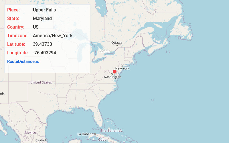
Full AddressUpper Falls, MD 21156
-
Coordinates39.4373298, -76.4032943
-
LocationUpper Falls , Maryland , US
-
TimezoneAmerica/New_York
-
Current Local Time6:18:46 AM America/New_YorkWednesday, June 11, 2025
-
Page Views0
About Upper Falls
Upper Falls is an unincorporated community in Baltimore County, Maryland, United States. southeast of Kingsville. Upper Falls has a post office with ZIP code 21156.
Nearby Places
Found 10 places within 50 miles

Kingsville
1.1 mi
1.8 km
Kingsville, MD
Get directions

Franklinville
1.2 mi
1.9 km
Franklinville, MD 21087
Get directions

Bradshaw
1.5 mi
2.4 km
Bradshaw, MD 21087
Get directions
Oaklyn Manor
1.5 mi
2.4 km
Oaklyn Manor, Joppatowne, MD 21085
Get directions

Gunpowder
1.8 mi
2.9 km
Gunpowder, MD 21087
Get directions
Darryl Gardens
1.9 mi
3.1 km
Darryl Gardens, Honeygo, MD 21162
Get directions
Forge Acres
2.0 mi
3.2 km
Forge Acres, Honeygo, MD 21162
Get directions
Forge Heights
2.3 mi
3.7 km
Forge Heights, Honeygo, MD 21128
Get directions
Gunpowder Estates
2.6 mi
4.2 km
Gunpowder Estates, Honeygo, MD 21128
Get directions

Joppatowne
2.6 mi
4.2 km
Joppatowne, MD 21085
Get directions
Location Links
Local Weather
Weather Information
Coming soon!
Location Map
Static map view of Upper Falls, Maryland
Browse Places by Distance
Places within specific distances from Upper Falls
Short Distances
Long Distances
Click any distance to see all places within that range from Upper Falls. Distances shown in miles (1 mile ≈ 1.61 kilometers).