Distance to Upper Mahantongo Township, Pennsylvania

Calculating Your Route
Just a moment while we process your request...
Location Information
-
Full AddressUpper Mahantongo Township, PA
-
Coordinates40.68602, -76.583499
-
LocationUpper Mahantongo Township , Pennsylvania , US
-
TimezoneAmerica/New_York
-
Current Local Time11:45:03 AM America/New_YorkWednesday, June 18, 2025
-
Page Views0
About Upper Mahantongo Township
Upper Mahantongo Township is a township that is located in Schuylkill County, Pennsylvania, United States. The population was 614 at the time of the 2020 census.
Nearby Places
Found 10 places within 50 miles

Upper Mahanoy Township
3.0 mi
4.8 km
Upper Mahanoy Township, PA
Get directions
Valley View
3.6 mi
5.8 km
Valley View, PA
Get directions

East Cameron Township
4.1 mi
6.6 km
East Cameron Township, PA
Get directions

Hegins
5.1 mi
8.2 km
Hegins, PA 17938
Get directions
Fairview-Ferndale
6.6 mi
10.6 km
Fairview-Ferndale, PA
Get directions
Tower City
6.9 mi
11.1 km
Tower City, PA 17980
Get directions

Shamokin
7.2 mi
11.6 km
Shamokin, PA 17872
Get directions
Williamstown
7.5 mi
12.1 km
Williamstown, PA 17098
Get directions

Trevorton
8.1 mi
13.0 km
Trevorton, PA
Get directions
Gratz
8.7 mi
14.0 km
Gratz, PA
Get directions
Location Links
Local Weather
Weather Information
Coming soon!
Location Map
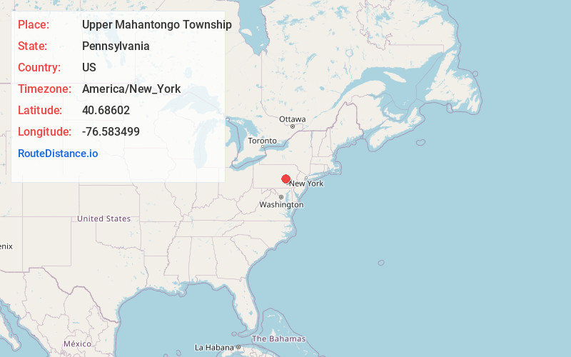
Static map view of Upper Mahantongo Township, Pennsylvania
Browse Places by Distance
Places within specific distances from Upper Mahantongo Township
Short Distances
Long Distances
Click any distance to see all places within that range from Upper Mahantongo Township. Distances shown in miles (1 mile ≈ 1.61 kilometers).