Distance to Shamokin, Pennsylvania

Calculating Your Route
Just a moment while we process your request...
Location Information
-
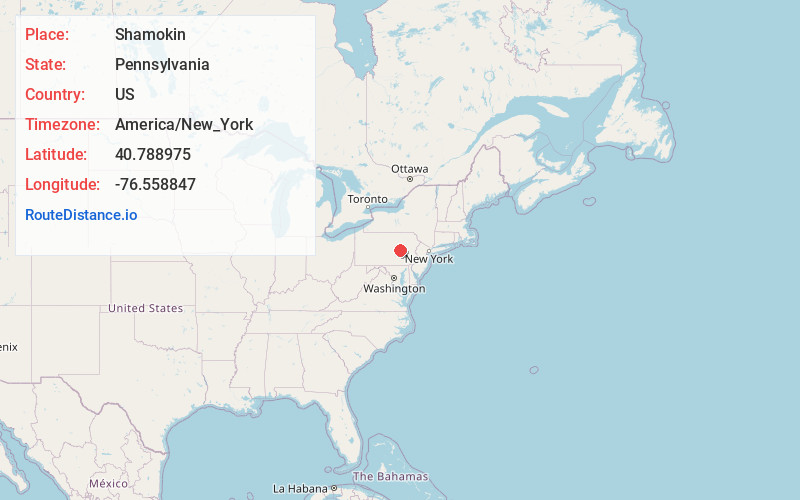
Full AddressShamokin, PA 17872
-
Coordinates40.7889746, -76.5588473
-
LocationShamokin , Pennsylvania , US
-
TimezoneAmerica/New_York
-
Current Local Time12:44:57 PM America/New_YorkThursday, June 19, 2025
-
Website
-
Page Views0
About Shamokin
Shamokin is a city in Northumberland County, Pennsylvania, United States. Surrounded by Coal Township at the western edge of the Anthracite Coal Region in central Pennsylvania's Susquehanna River Valley, the city was named after a Saponi Indian village, Schahamokink.


Nearby Places
Found 10 places within 50 miles

Sunbury
13.3 mi
21.4 km
Sunbury, PA 17801
Get directions

Bloomsburg
15.8 mi
25.4 km
Bloomsburg, PA 17815
Get directions

Pottsville
20.2 mi
32.5 km
Pottsville, PA 17901
Get directions

East Buffalo Township
21.0 mi
33.8 km
East Buffalo Township, PA
Get directions

Schuylkill Haven
23.1 mi
37.2 km
Schuylkill Haven, PA 17972
Get directions

Berwick
25.0 mi
40.2 km
Berwick, PA
Get directions

Bethel
25.8 mi
41.5 km
Bethel, PA 19507
Get directions

North Lebanon Township
30.0 mi
48.3 km
North Lebanon Township, PA
Get directions

Hazle Township
30.1 mi
48.4 km
Hazle Township, PA
Get directions

West Hanover Township
30.9 mi
49.7 km
West Hanover Township, PA
Get directions
Location Links
Local Weather
Weather Information
Coming soon!
Location Map
Static map view of Shamokin, Pennsylvania
Browse Places by Distance
Places within specific distances from Shamokin
Short Distances
Long Distances
Click any distance to see all places within that range from Shamokin. Distances shown in miles (1 mile ≈ 1.61 kilometers).