Distance to Upper Nyack, New York

Calculating Your Route
Just a moment while we process your request...
Location Information
-
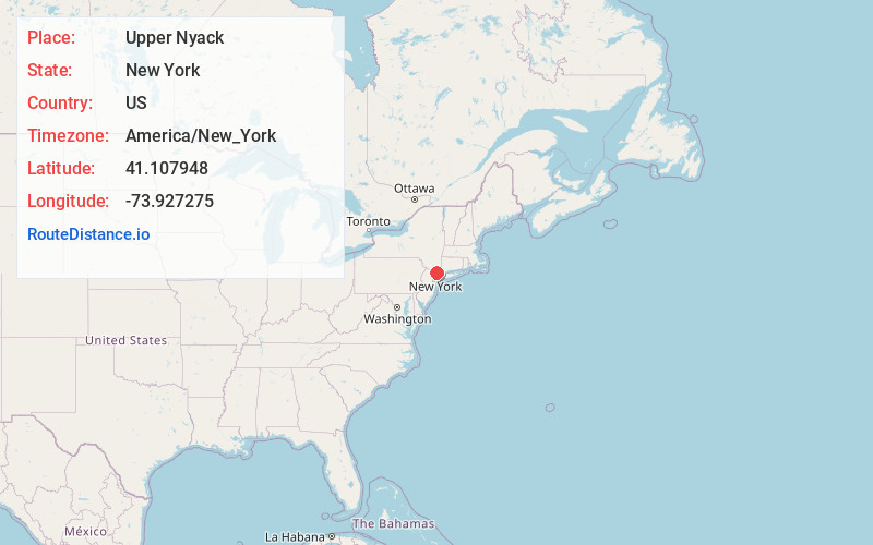
Full AddressUpper Nyack, NY
-
Coordinates41.1079478, -73.9272752
-
LocationUpper Nyack , New York , US
-
TimezoneAmerica/New_York
-
Current Local Time1:50:19 PM America/New_YorkWednesday, June 18, 2025
-
Page Views0
About Upper Nyack
Upper Nyack is a village incorporated in 1872 in the town of Clarkstown, Rockland County, New York, United States. It is located north of the village of Nyack, east of Valley Cottage, south of Rockland Lake State Park, and west of the Hudson River. The population was 2,063 at the 2010 census.


Nearby Places
Found 10 places within 50 miles

Valley Cottage
1.6 mi
2.6 km
Valley Cottage, NY
Get directions

Clarkstown
2.1 mi
3.4 km
Clarkstown, NY
Get directions

West Nyack
2.5 mi
4.0 km
West Nyack, NY 10994
Get directions

Bardonia
2.9 mi
4.7 km
Bardonia, NY
Get directions

Congers
3.1 mi
5.0 km
Congers, NY
Get directions

Blauvelt
3.5 mi
5.6 km
Blauvelt, NY
Get directions

Sleepy Hollow
3.9 mi
6.3 km
Sleepy Hollow, NY
Get directions
Rockland County
4.1 mi
6.6 km
Rockland County, NY
Get directions

Tarrytown
4.2 mi
6.8 km
Tarrytown, NY
Get directions

New City
4.2 mi
6.8 km
New City, NY
Get directions
Location Links
Local Weather
Weather Information
Coming soon!
Location Map
Static map view of Upper Nyack, New York
Browse Places by Distance
Places within specific distances from Upper Nyack
Short Distances
Long Distances
Click any distance to see all places within that range from Upper Nyack. Distances shown in miles (1 mile ≈ 1.61 kilometers).