Distance to Upper Preston, Washington

Calculating Your Route
Just a moment while we process your request...
Location Information
-
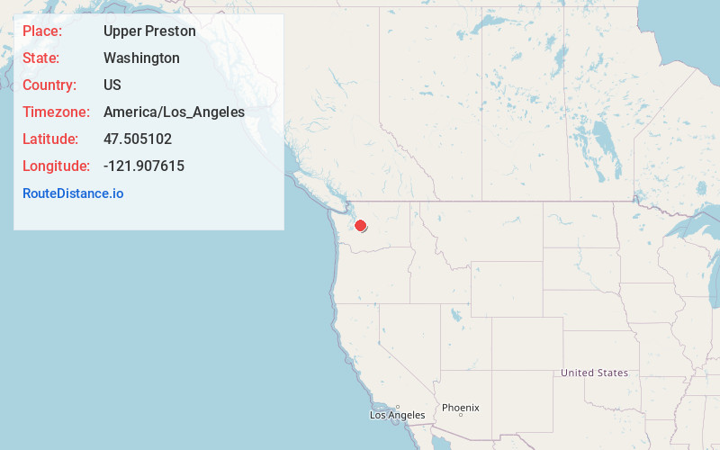
Full AddressUpper Preston, WA 98027
-
Coordinates47.5051019, -121.907615
-
LocationUpper Preston , Washington , US
-
TimezoneAmerica/Los_Angeles
-
Current Local Time11:55:28 PM America/Los_AngelesThursday, June 12, 2025
-
Page Views0
Nearby Places
Found 10 places within 50 miles

Preston
1.6 mi
2.6 km
Preston, WA 98027
Get directions

Snoqualmie
4.2 mi
6.8 km
Snoqualmie, WA
Get directions

Fall City
4.4 mi
7.1 km
Fall City, WA 98024
Get directions

Mirrormont
5.1 mi
8.2 km
Mirrormont, WA
Get directions

North Bend
5.7 mi
9.2 km
North Bend, WA 98045
Get directions

Issaquah
6.1 mi
9.8 km
Issaquah, WA
Get directions

Ellisville
7.1 mi
11.4 km
Ellisville, WA 98045
Get directions

Wilderness Rim
7.5 mi
12.1 km
Wilderness Rim, WA 98045
Get directions

Riverbend
7.8 mi
12.6 km
Riverbend, WA 98045
Get directions
Hobart
7.8 mi
12.6 km
Hobart, WA
Get directions
Location Links
Local Weather
Weather Information
Coming soon!
Location Map
Static map view of Upper Preston, Washington
Browse Places by Distance
Places within specific distances from Upper Preston
Short Distances
Long Distances
Click any distance to see all places within that range from Upper Preston. Distances shown in miles (1 mile ≈ 1.61 kilometers).