Distance to Upper Tyrone Township, Pennsylvania

Calculating Your Route
Just a moment while we process your request...
Location Information
-
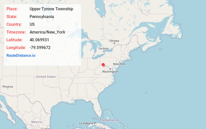
Full AddressUpper Tyrone Township, PA
-
Coordinates40.0699313, -79.5996716
-
LocationUpper Tyrone Township , Pennsylvania , US
-
TimezoneAmerica/New_York
-
Current Local Time6:01:47 AM America/New_YorkSaturday, June 14, 2025
-
Page Views0
About Upper Tyrone Township
Upper Tyrone Township is a township that is located in Fayette County, Pennsylvania, United States. The population was 1,768 at the time of the 2020 census. It is served by the Southmoreland School District.
Nearby Places
Found 10 places within 50 miles

Scottdale
2.2 mi
3.5 km
Scottdale, PA 15683
Get directions

Connellsville
3.6 mi
5.8 km
Connellsville, PA 15425
Get directions

East Huntingdon Township
5.2 mi
8.4 km
East Huntingdon Township, PA
Get directions

Bullskin Township
5.9 mi
9.5 km
Bullskin Township, PA
Get directions

Mt Pleasant
6.3 mi
10.1 km
Mt Pleasant, PA 15666
Get directions

Dunbar
6.4 mi
10.3 km
Dunbar, PA 15431
Get directions

South Huntingdon Township
6.9 mi
11.1 km
South Huntingdon Township, PA
Get directions

Fayette County
10.2 mi
16.4 km
Fayette County, PA
Get directions

New Stanton
10.9 mi
17.5 km
New Stanton, PA
Get directions

North Union Township
11.8 mi
19.0 km
North Union Township, PA
Get directions
Location Links
Local Weather
Weather Information
Coming soon!
Location Map
Static map view of Upper Tyrone Township, Pennsylvania
Browse Places by Distance
Places within specific distances from Upper Tyrone Township
Short Distances
Long Distances
Click any distance to see all places within that range from Upper Tyrone Township. Distances shown in miles (1 mile ≈ 1.61 kilometers).