Distance to U.S. Army Yuma Proving Ground, Arizona

Calculating Your Route
Just a moment while we process your request...
Location Information
-
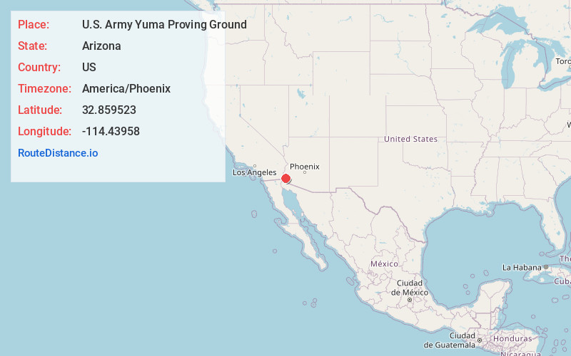
Full AddressU.S. Army Yuma Proving Ground, 301 C St, Yuma, AZ 85365
-
Coordinates32.8595229, -114.4395801
-
Street301 C St
-
LocationYuma , Arizona , US
-
TimezoneAmerica/Phoenix
-
Current Local Time1:18:24 AM America/PhoenixThursday, May 22, 2025
-
Page Views0


Nearby Places
Found 9 places within 50 miles

Fortuna Foothills
14.0 mi
22.5 km
Fortuna Foothills, AZ
Get directions

Yuma
15.9 mi
25.6 km
Yuma, AZ
Get directions

Avenue B and C
16.0 mi
25.7 km
Avenue B and C, AZ 85364
Get directions

Wellton
21.3 mi
34.3 km
Wellton, AZ 85356
Get directions

Somerton
24.0 mi
38.6 km
Somerton, AZ
Get directions
Gadsden
29.1 mi
46.8 km
Gadsden, AZ
Get directions

Tacna
30.4 mi
48.9 km
Tacna, AZ 85356
Get directions

San Luis
32.6 mi
52.5 km
San Luis, AZ
Get directions
Ripley
47.5 mi
76.4 km
Ripley, CA 92225
Get directions
Location Links
Local Weather
Weather Information
Coming soon!
Location Map
Static map view of U.S. Army Yuma Proving Ground, Arizona
Browse Places by Distance
Places within specific distances from U.S. Army Yuma Proving Ground
Short Distances
Long Distances
Click any distance to see all places within that range from U.S. Army Yuma Proving Ground. Distances shown in miles (1 mile ≈ 1.61 kilometers).