Distance to Uvita, Puntarenas Province

Calculating Your Route
Just a moment while we process your request...
Location Information
-
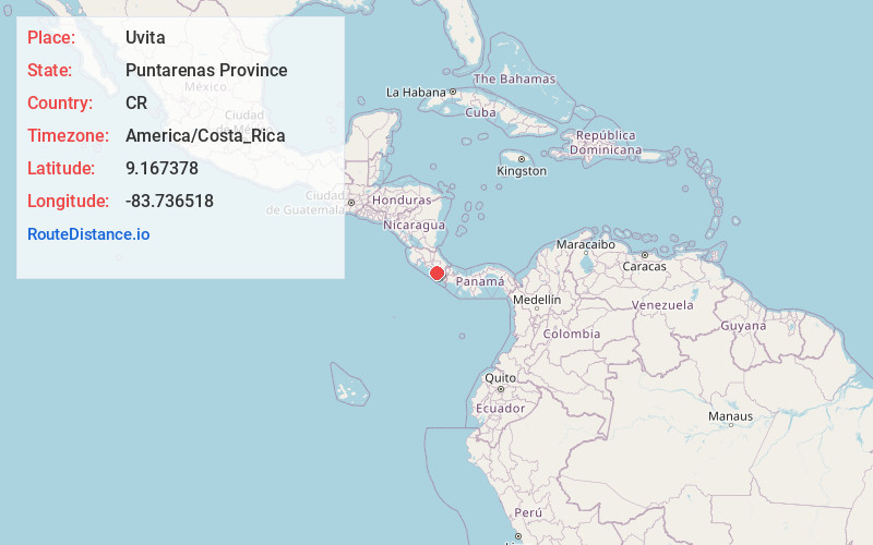
Full AddressPuntarenas Province, Uvita, Costa Rica
-
Coordinates9.1673781, -83.7365175
-
LocationUvita , Puntarenas Province , CR
-
TimezoneAmerica/Costa_Rica
-
Current Local Time9:13:36 PM America/Costa_RicaSunday, June 15, 2025
-
Page Views0
About Uvita
Uvita de Osa is a small town in southern Costa Rica, on a section of coastline known as the Bahía Ballena. It is notable for hosting the annual music event and being home to the Cola de Ballena beach which is one of the beaches comprising Marino Ballena National Park.


Nearby Places
Found 5 places within 50 miles

Manuel Antonio National Park
31.4 mi
50.5 km
Manuel Antonio National Park, Puntarenas Province, Quepos, Costa Rica
Get directions

Manuel Antonio
33.1 mi
53.3 km
Manuel Antonio, Puntarenas Province, Quepos, Costa Rica
Get directions

Quepos
34.3 mi
55.2 km
Puntarenas Province, Quepos, Costa Rica
Get directions

Costa Rica
40.2 mi
64.7 km
Costa Rica
Get directions

Osa Peninsula
45.8 mi
73.7 km
Osa Peninsula, Puntarenas Province, Costa Rica
Get directions
Location Links
Local Weather
Weather Information
Coming soon!
Location Map
Static map view of Uvita, Puntarenas Province
Browse Places by Distance
Places within specific distances from Uvita
Short Distances
Long Distances
Click any distance to see all places within that range from Uvita. Distances shown in miles (1 mile ≈ 1.61 kilometers).