Distance to Valeda, Kansas

Calculating Your Route
Just a moment while we process your request...
Location Information
-
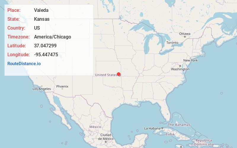
Full AddressValeda, Howard Township, KS 67337
-
Coordinates37.0472988, -95.4474746
-
LocationHoward Township , Kansas , US
-
TimezoneAmerica/Chicago
-
Current Local Time3:15:26 PM America/ChicagoSunday, June 22, 2025
-
Page Views0
About Valeda
Valeda is an unincorporated community in Labette County, Kansas, United States.
Nearby Places
Found 10 places within 50 miles

Edna
4.9 mi
7.9 km
Edna, KS 67342
Get directions

Coffeyville
9.3 mi
15.0 km
Coffeyville, KS
Get directions

South Coffeyville
10.2 mi
16.4 km
South Coffeyville, OK 74072
Get directions

Liberty
11.0 mi
17.7 km
Liberty, KS 67351
Get directions

Mound Valley
11.2 mi
18.0 km
Mound Valley, KS 67354
Get directions
Altamont
12.9 mi
20.8 km
Altamont, KS 67330
Get directions
Banzet
13.0 mi
20.9 km
Banzet, OK 74369
Get directions
Bartlett
13.1 mi
21.1 km
Bartlett, KS 67332
Get directions
Dearing
14.5 mi
23.3 km
Dearing, KS
Get directions

Cherryvale
16.5 mi
26.6 km
Cherryvale, KS 67335
Get directions
Location Links
Local Weather
Weather Information
Coming soon!
Location Map
Static map view of Valeda, Kansas
Browse Places by Distance
Places within specific distances from Valeda
Short Distances
Long Distances
Click any distance to see all places within that range from Valeda. Distances shown in miles (1 mile ≈ 1.61 kilometers).