Distance to and from Valera, Texas
Valera, TX
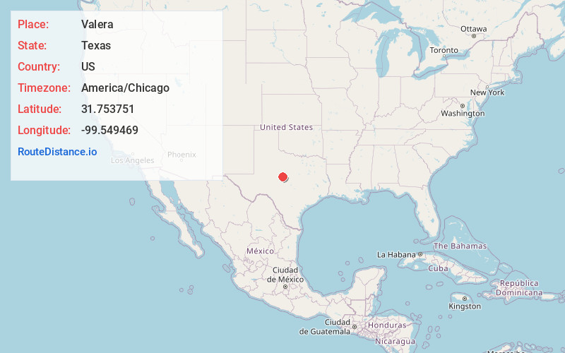
Valera
Texas
US
America/Chicago
Location Information
-
Full AddressValera, TX
-
Coordinates31.7537507, -99.5494686
-
LocationValera , Texas , US
-
TimezoneAmerica/Chicago
-
Current Local Time11:59:50 AM America/ChicagoSaturday, May 3, 2025
-
Page Views0
Directions to Nearest Cities
About Valera
Valera is an unincorporated community and Census Designated Place in Coleman County, Texas, United States.

Nearby Places
Found 10 places within 50 miles

Coleman
8.8 mi
14.2 km
Coleman, TX 76834
Get directions

Santa Anna
13.4 mi
21.6 km
Santa Anna, TX 76878
Get directions

Novice
16.9 mi
27.2 km
Novice, TX 79538
Get directions

Ballinger
23.4 mi
37.7 km
Ballinger, TX 76821
Get directions
Bangs
24.6 mi
39.6 km
Bangs, TX 76823
Get directions

Lake Brownwood
26.3 mi
42.3 km
Lake Brownwood, TX 76801
Get directions

Paint Rock
27.6 mi
44.4 km
Paint Rock, TX 76866
Get directions

Winters
28.0 mi
45.1 km
Winters, TX 79567
Get directions

Lawn
28.8 mi
46.3 km
Lawn, TX 79530
Get directions
Rowena
30.1 mi
48.4 km
Rowena, TX 76875
Get directions
Coleman
8.8 mi
14.2 km
Coleman, TX 76834
Santa Anna
13.4 mi
21.6 km
Santa Anna, TX 76878
Novice
16.9 mi
27.2 km
Novice, TX 79538
Ballinger
23.4 mi
37.7 km
Ballinger, TX 76821
Bangs
24.6 mi
39.6 km
Bangs, TX 76823
Lake Brownwood
26.3 mi
42.3 km
Lake Brownwood, TX 76801
Paint Rock
27.6 mi
44.4 km
Paint Rock, TX 76866
Winters
28.0 mi
45.1 km
Winters, TX 79567
Lawn
28.8 mi
46.3 km
Lawn, TX 79530
Rowena
30.1 mi
48.4 km
Rowena, TX 76875
Location Links
Local Weather
Weather Information
Coming soon!
Location Map
Static map view of Valera, Texas
Browse Places by Distance
Places within specific distances from Valera
Short Distances
Long Distances
Click any distance to see all places within that range from Valera. Distances shown in miles (1 mile ≈ 1.61 kilometers).