Distance to Valley Bend, West Virginia

Calculating Your Route
Just a moment while we process your request...
Location Information
-
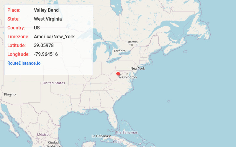
Full AddressValley Bend, WV 26250
-
Coordinates39.05978, -79.964516
-
LocationValley Bend , West Virginia , US
-
TimezoneAmerica/New_York
-
Current Local Time8:41:35 AM America/New_YorkSunday, June 22, 2025
-
Page Views0
About Valley Bend
Valley Bend is an unincorporated community in Barbour County, West Virginia, United States. Valley Bend is located on U.S. Route 250, 3 miles northwest of Belington.
Nearby Places
Found 10 places within 50 miles

Belington
2.9 mi
4.7 km
Belington, WV 26250
Get directions

Philippi
7.6 mi
12.2 km
Philippi, WV 26416
Get directions

Elkins
11.2 mi
18.0 km
Elkins, WV 26241
Get directions

Buckhannon
15.1 mi
24.3 km
Buckhannon, WV 26201
Get directions

Parsons
15.4 mi
24.8 km
Parsons, WV
Get directions

Beverly
15.9 mi
25.6 km
Beverly, WV
Get directions

Grafton
19.6 mi
31.5 km
Grafton, WV 26354
Get directions

Bridgeport
22.1 mi
35.6 km
Bridgeport, WV
Get directions

Mill Creek
22.7 mi
36.5 km
Mill Creek, WV 26280
Get directions

Stonewood
22.8 mi
36.7 km
Stonewood, WV 26301
Get directions
Location Links
Local Weather
Weather Information
Coming soon!
Location Map
Static map view of Valley Bend, West Virginia
Browse Places by Distance
Places within specific distances from Valley Bend
Short Distances
Long Distances
Click any distance to see all places within that range from Valley Bend. Distances shown in miles (1 mile ≈ 1.61 kilometers).