Distance to Valleytown, Montana

Calculating Your Route
Just a moment while we process your request...
Location Information
-
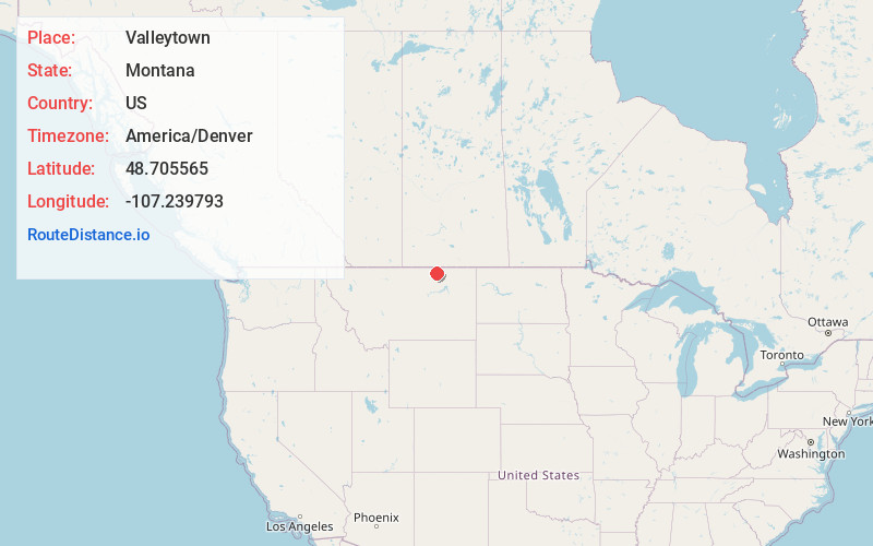
Full AddressValleytown, MT 59544
-
Coordinates48.7055654, -107.2397933
-
LocationValleytown , Montana , US
-
TimezoneAmerica/Denver
-
Current Local Time7:08:53 PM America/DenverTuesday, June 3, 2025
-
Page Views0
Nearby Places
Found 10 places within 50 miles

Tattnall
14.9 mi
24.0 km
Tattnall, MT 59544
Get directions

Saco
17.8 mi
28.6 km
Saco, MT 59261
Get directions
Whitewater
18.1 mi
29.1 km
Whitewater, MT 59544
Get directions
Thoeny
18.9 mi
30.4 km
Thoeny, MT 59241
Get directions
Sleeping Buffalo
20.2 mi
32.5 km
Sleeping Buffalo, MT 59261
Get directions

Hinsdale
22.6 mi
36.4 km
Hinsdale, MT 59241
Get directions
Bowdoin
27.4 mi
44.1 km
Bowdoin, MT 59538
Get directions

Vandalia
28.5 mi
45.9 km
Vandalia, MT 59273
Get directions
Loring
29.0 mi
46.7 km
Loring, MT 59537
Get directions
East Malta Colony
29.7 mi
47.8 km
East Malta Colony, MT 59538
Get directions
Location Links
Local Weather
Weather Information
Coming soon!
Location Map
Static map view of Valleytown, Montana
Browse Places by Distance
Places within specific distances from Valleytown
Short Distances
Long Distances
Click any distance to see all places within that range from Valleytown. Distances shown in miles (1 mile ≈ 1.61 kilometers).