Distance to Vaughns Mill, Kentucky

Calculating Your Route
Just a moment while we process your request...
Location Information
-
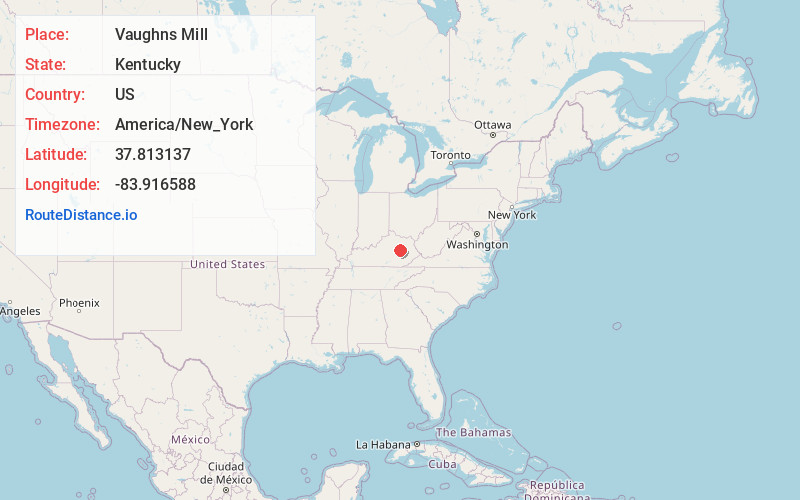
Full AddressVaughns Mill, KY 40312
-
Coordinates37.8131372, -83.916588
-
LocationKentucky , US
-
TimezoneAmerica/New_York
-
Current Local Time12:24:55 PM America/New_YorkFriday, June 13, 2025
-
Page Views0
Nearby Places
Found 10 places within 50 miles

Clay City
3.2 mi
5.1 km
Clay City, KY 40312
Get directions

Stanton
3.9 mi
6.3 km
Stanton, KY 40380
Get directions

Kimbrell
4.1 mi
6.6 km
Kimbrell, KY 40336
Get directions
Virden
5.2 mi
8.4 km
Virden, KY 40312
Get directions
Fitchburg
6.6 mi
10.6 km
Fitchburg, KY 40472
Get directions
Log Lick
6.8 mi
10.9 km
Log Lick, KY 40391
Get directions
Vianna
6.8 mi
10.9 km
Vianna, KY 40391
Get directions
Westbend
7.0 mi
11.3 km
Westbend, KY 40312
Get directions
Pitts
7.4 mi
11.9 km
Pitts, KY 40472
Get directions
North Irvine
7.7 mi
12.4 km
North Irvine, KY 40336
Get directions
Location Links
Local Weather
Weather Information
Coming soon!
Location Map
Static map view of Vaughns Mill, Kentucky
Browse Places by Distance
Places within specific distances from Vaughns Mill
Short Distances
Long Distances
Click any distance to see all places within that range from Vaughns Mill. Distances shown in miles (1 mile ≈ 1.61 kilometers).