Distance to Vauxhall, New Jersey

Calculating Your Route
Just a moment while we process your request...
Location Information
-
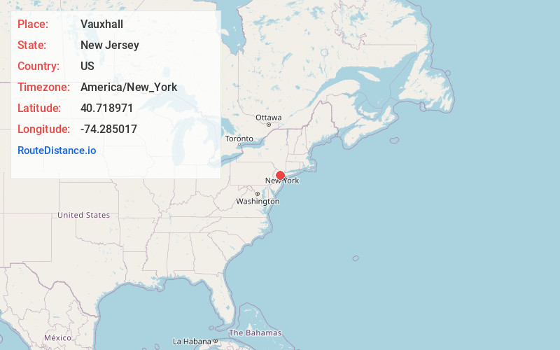
Full AddressVauxhall, Union, NJ
-
Coordinates40.7189709, -74.285017
-
NeighborhoodVauxhall
-
LocationUnion , New Jersey , US
-
TimezoneAmerica/New_York
-
Current Local Time5:24:35 AM America/New_YorkWednesday, June 18, 2025
-
Page Views0
About Vauxhall
Vauxhall is an unincorporated community and census-designated place located within Union Township in Union County, in the U.S. state of New Jersey. Vauxhall borders Millburn, Maplewood and Springfield. The area is served as United States Postal Service ZIP Code 07088.
Nearby Places
Found 10 places within 50 miles

Millburn
1.2 mi
1.9 km
Millburn, NJ
Get directions

Maplewood
1.5 mi
2.4 km
Maplewood, NJ
Get directions

Union
1.7 mi
2.7 km
Union, NJ
Get directions

Springfield
2.2 mi
3.5 km
Springfield, NJ
Get directions

Kenilworth
2.9 mi
4.7 km
Kenilworth, NJ
Get directions

Irvington
3.0 mi
4.8 km
Irvington, NJ 07111
Get directions

Summit
3.7 mi
6.0 km
Summit, NJ
Get directions

Hillside
3.8 mi
6.1 km
Hillside, NJ
Get directions

Roselle Park
4.1 mi
6.6 km
Roselle Park, NJ
Get directions

City of Orange
4.1 mi
6.6 km
City of Orange, NJ
Get directions
Location Links
Local Weather
Weather Information
Coming soon!
Location Map
Static map view of Vauxhall, New Jersey
Browse Places by Distance
Places within specific distances from Vauxhall
Short Distances
Long Distances
Click any distance to see all places within that range from Vauxhall. Distances shown in miles (1 mile ≈ 1.61 kilometers).