Distance to Venetian Isles, Louisiana

Calculating Your Route
Just a moment while we process your request...
Location Information
-
Full AddressVenetian Isles, New Orleans, LA
-
Coordinates30.0649478, -89.8133196
-
NeighborhoodVenetian Isles
-
LocationNew Orleans , Louisiana , US
-
TimezoneAmerica/Chicago
-
Current Local Time5:57:42 AM America/ChicagoThursday, June 5, 2025
-
Page Views0
About Venetian Isles
Venetian Isles is a neighborhood of New Orleans, Louisiana. It is located on the western shore of the Chef Menteur Pass on the northern side of U.S. Highway 90.
Legally a part of the city, Venetian Isles is separated from the bulk of the developed portion of the city by miles of undeveloped land.


Nearby Places
Found 10 places within 50 miles

Howze Beach
10.1 mi
16.3 km
Howze Beach, LA
Get directions

Meraux
11.1 mi
17.9 km
Meraux, LA
Get directions
North Shore Beach
11.2 mi
18.0 km
North Shore Beach, Eden Isle, LA 70458
Get directions

Eden Isle
11.3 mi
18.2 km
Eden Isle, LA 70458
Get directions

Frances Place
11.7 mi
18.8 km
Frances Place, Meraux, LA 70092
Get directions

Chalmette
12.3 mi
19.8 km
Chalmette, LA
Get directions

Violet
12.7 mi
20.4 km
Violet, LA
Get directions
McClane City
13.5 mi
21.7 km
McClane City, Slidell, LA 70458
Get directions
River Bend
13.5 mi
21.7 km
River Bend, Violet, LA 70092
Get directions

Arabi
13.8 mi
22.2 km
Arabi, LA 70032
Get directions
Location Links
Local Weather
Weather Information
Coming soon!
Location Map
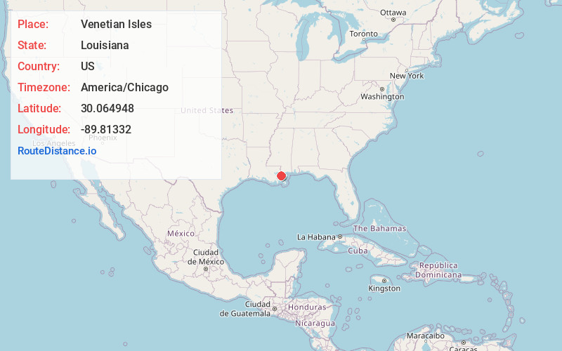
Static map view of Venetian Isles, Louisiana
Browse Places by Distance
Places within specific distances from Venetian Isles
Short Distances
Long Distances
Click any distance to see all places within that range from Venetian Isles. Distances shown in miles (1 mile ≈ 1.61 kilometers).