Distance to Vermilion Dam, Minnesota

Calculating Your Route
Just a moment while we process your request...
Location Information
-
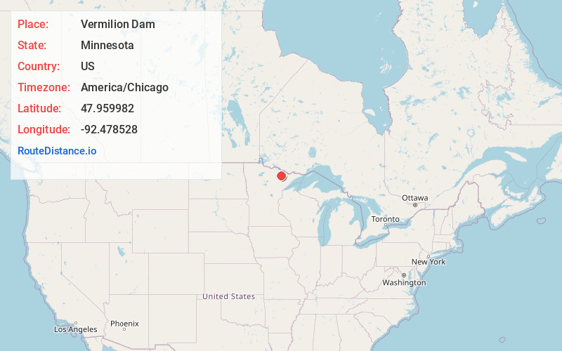
Full AddressVermilion Dam, MN 55771
-
Coordinates47.959982, -92.4785282
-
LocationVermilion Dam , Minnesota , US
-
TimezoneAmerica/Chicago
-
Current Local Time1:44:18 AM America/ChicagoWednesday, July 2, 2025
-
Page Views0
About Vermilion Dam
Vermilion Dam is an unincorporated community in Saint Louis County, Minnesota, United States.
The community is located 21 miles northeast of Cook, near the junction of Saint Louis County Road 24 and County Road 422.
Vermilion Dam is located within the Kabetogama State Forest.
Nearby Places
Found 10 places within 50 miles

Oak Island
2.8 mi
4.5 km
Oak Island, Greenwood Township, MN 55723
Get directions

Beatty Township
6.6 mi
10.6 km
Beatty Township, MN
Get directions
Greenwood Township
6.9 mi
11.1 km
Greenwood Township, MN
Get directions
Wakemup
8.1 mi
13.0 km
Wakemup, MN 55723
Get directions
Owens Township
10.7 mi
17.2 km
Owens Township, MN 55723
Get directions

Buyck
11.4 mi
18.3 km
Buyck, MN 55771
Get directions
Haley
12.1 mi
19.5 km
Haley, MN 55723
Get directions

Cook
12.3 mi
19.8 km
Cook, MN 55723
Get directions
Peyla
13.2 mi
21.2 km
Peyla, MN 55790
Get directions
Leander
13.5 mi
21.7 km
Leander, MN 55723
Get directions
Location Links
Local Weather
Weather Information
Coming soon!
Location Map
Static map view of Vermilion Dam, Minnesota
Browse Places by Distance
Places within specific distances from Vermilion Dam
Short Distances
Long Distances
Click any distance to see all places within that range from Vermilion Dam. Distances shown in miles (1 mile ≈ 1.61 kilometers).