Distance to Viola, Iowa

Calculating Your Route
Just a moment while we process your request...
Location Information
-
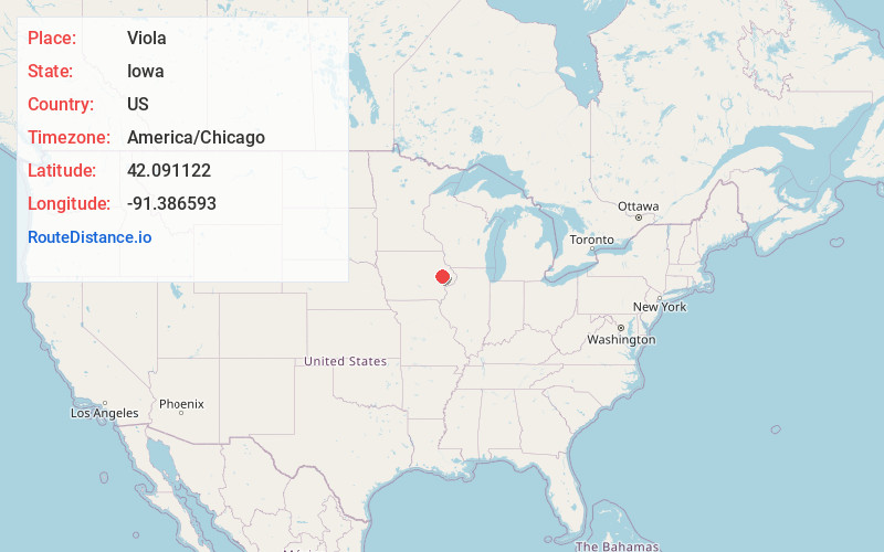
Full AddressViola, IA 52336
-
Coordinates42.0911219, -91.3865933
-
LocationViola , Iowa , US
-
TimezoneAmerica/Chicago
-
Current Local Time6:42:57 PM America/ChicagoWednesday, July 2, 2025
-
Page Views0
About Viola
Viola is an unincorporated community in eastern Linn County, Iowa, United States. It lies along local roads, northeast of the city of Cedar Rapids, the county seat of Linn County. Its elevation is 978 feet.
Nearby Places
Found 10 places within 50 miles

Stone City
2.4 mi
3.9 km
Stone City, IA 52205
Get directions

Springville
3.6 mi
5.8 km
Springville, IA 52336
Get directions
Whittier
3.9 mi
6.3 km
Whittier, IA 52336
Get directions
Martelle
5.0 mi
8.0 km
Martelle, IA
Get directions

Anamosa
5.3 mi
8.5 km
Anamosa, IA 52205
Get directions
Morley
9.3 mi
15.0 km
Morley, IA
Get directions
Prairieburg
10.3 mi
16.6 km
Prairieburg, IA 52219
Get directions

Central City
10.5 mi
16.9 km
Central City, IA 52214
Get directions

Marion
11.5 mi
18.5 km
Marion, IA
Get directions

Lisbon
11.7 mi
18.8 km
Lisbon, IA
Get directions
Location Links
Local Weather
Weather Information
Coming soon!
Location Map
Static map view of Viola, Iowa
Browse Places by Distance
Places within specific distances from Viola
Short Distances
Long Distances
Click any distance to see all places within that range from Viola. Distances shown in miles (1 mile ≈ 1.61 kilometers).