Distance to Votaw, Texas

Calculating Your Route
Just a moment while we process your request...
Location Information
-
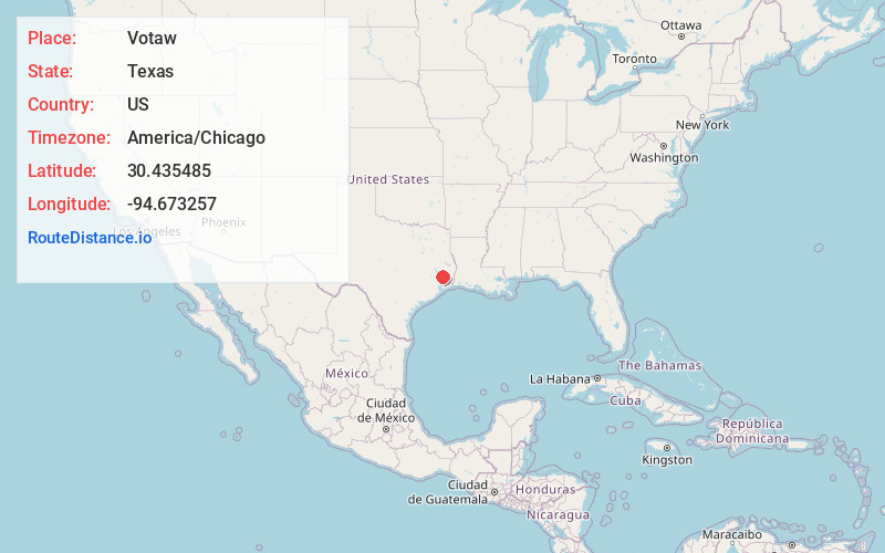
Full AddressVotaw, TX 77376
-
Coordinates30.435485, -94.6732574
-
LocationVotaw , Texas , US
-
TimezoneAmerica/Chicago
-
Current Local Time3:38:45 PM America/ChicagoFriday, June 13, 2025
-
Page Views0
About Votaw
Votaw is an unincorporated community in northwestern Hardin County, Texas, United States. It is part of the Beaumont–Port Arthur Metropolitan Statistical Area.
Nearby Places
Found 10 places within 50 miles

Thicket
3.8 mi
6.1 km
Thicket, TX 77374
Get directions

Rye
5.8 mi
9.3 km
Rye, TX 77327
Get directions
Holly Grove
6.1 mi
9.8 km
Holly Grove, TX 77351
Get directions
Bragg
6.6 mi
10.6 km
Bragg, TX 77625
Get directions
Milvid
7.5 mi
12.1 km
Milvid, TX 77327
Get directions
Segno
9.8 mi
15.8 km
Segno, TX 77351
Get directions
Romayor
10.2 mi
16.4 km
Romayor, TX 77327
Get directions
Lelavale
11.5 mi
18.5 km
Lelavale, TX 77625
Get directions
Batson
13.5 mi
21.7 km
Batson, TX 77519
Get directions
Saratoga
13.5 mi
21.7 km
Saratoga, TX
Get directions
Location Links
Local Weather
Weather Information
Coming soon!
Location Map
Static map view of Votaw, Texas
Browse Places by Distance
Places within specific distances from Votaw
Short Distances
Long Distances
Click any distance to see all places within that range from Votaw. Distances shown in miles (1 mile ≈ 1.61 kilometers).