Distance to Vulcan, Missouri

Calculating Your Route
Just a moment while we process your request...
Location Information
-
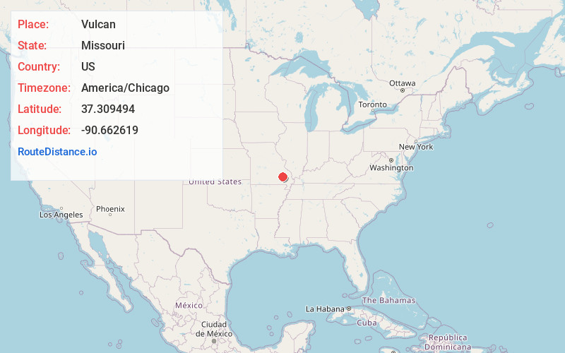
Full AddressVulcan, MO 63675
-
Coordinates37.3094943, -90.662619
-
LocationVulcan , Missouri , US
-
TimezoneAmerica/Chicago
-
Current Local Time11:11:23 PM America/ChicagoFriday, June 27, 2025
-
Page Views0
About Vulcan
Vulcan is an unincorporated community in southern Iron County, Missouri, United States. It is located on Missouri Route 49 between Des Arc two miles to the south and Annapolis 3.5 miles to the north. Ironton is approximately twenty miles north. The community is in the Big Creek valley.
Nearby Places
Found 10 places within 50 miles

Des Arc
2.3 mi
3.7 km
Des Arc, MO
Get directions

Annapolis
4.0 mi
6.4 km
Annapolis, MO 63620
Get directions

Gads Hill
5.3 mi
8.5 km
Gads Hill, Benton Township, MO 63957
Get directions

Patterson
10.4 mi
16.7 km
Patterson, MO 63956
Get directions

Piedmont
10.9 mi
17.5 km
Piedmont, MO 63957
Get directions
Varsh Ford
12.3 mi
19.8 km
Varsh Ford, MO 63620
Get directions
Bounds
12.9 mi
20.8 km
Bounds, St Francois Township, MO 63964
Get directions
Redford
13.1 mi
21.1 km
Redford, MO 63665
Get directions

Clearwater Lake
13.2 mi
21.2 km
Clearwater Lake, Missouri
Get directions
Lesterville
14.1 mi
22.7 km
Lesterville, MO 63654
Get directions
Location Links
Local Weather
Weather Information
Coming soon!
Location Map
Static map view of Vulcan, Missouri
Browse Places by Distance
Places within specific distances from Vulcan
Short Distances
Long Distances
Click any distance to see all places within that range from Vulcan. Distances shown in miles (1 mile ≈ 1.61 kilometers).