Distance to Vya, Nevada

Calculating Your Route
Just a moment while we process your request...
Location Information
-
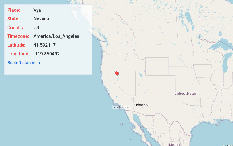
Full AddressVya, NV 89412
-
Coordinates41.5921166, -119.8604915
-
LocationVya , Nevada , US
-
TimezoneAmerica/Los_Angeles
-
Current Local Time2:24:01 PM America/Los_AngelesWednesday, June 18, 2025
-
Page Views0
About Vya
Vya is a small ghost town located in Washoe County, in northwestern Nevada, United States. It is about 10 miles east of the California state line, north of Forty Nine Canyon. Not much remains of the small town, which essentially died in the 1920s.

Nearby Places
Found 10 places within 50 miles

Cedarville
16.7 mi
26.9 km
Cedarville, CA 96104
Get directions

Eagleville
23.2 mi
37.3 km
Eagleville, CA 96110
Get directions

Fort Bidwell
23.9 mi
38.5 km
Fort Bidwell, CA 96112
Get directions

Menlo Baths
25.3 mi
40.7 km
Menlo Baths, CA 96110
Get directions

Davis Creek
28.1 mi
45.2 km
Davis Creek, CA 96108
Get directions
Surprise Station
29.7 mi
47.8 km
Surprise Station, CA 96101
Get directions

Willow Ranch
33.4 mi
53.8 km
Willow Ranch, CA 97635
Get directions
New Pine Creek
35.4 mi
57.0 km
New Pine Creek, CA 97635
Get directions
Daphnedale Park
35.9 mi
57.8 km
Daphnedale Park, CA 96101
Get directions

Alturas
36.0 mi
57.9 km
Alturas, CA 96101
Get directions
Location Links
Local Weather
Weather Information
Coming soon!
Location Map
Static map view of Vya, Nevada
Browse Places by Distance
Places within specific distances from Vya
Short Distances
Long Distances
Click any distance to see all places within that range from Vya. Distances shown in miles (1 mile ≈ 1.61 kilometers).