Distance to Wabash, Arkansas

Calculating Your Route
Just a moment while we process your request...
Location Information
-
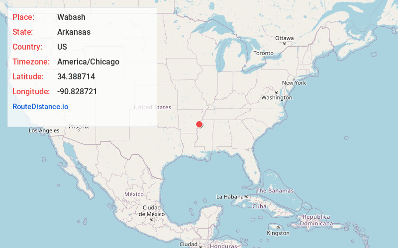
Full AddressWabash, AR 72355
-
Coordinates34.3887138, -90.8287213
-
LocationWabash , Arkansas , US
-
TimezoneAmerica/Chicago
-
Current Local Time11:57:03 AM America/ChicagoWednesday, May 28, 2025
-
Page Views0
About Wabash
Wabash is an unincorporated community in Phillips County, Arkansas, United States. Wabash is located on Arkansas Highway 44, 2 miles south-southwest of Lake View. Wabash has a post office with ZIP code 72389.


Nearby Places
Found 10 places within 50 miles

Hoop Spur
3.1 mi
5.0 km
Hoop Spur, AR 72333
Get directions

Oneida
5.7 mi
9.2 km
Oneida, AR 72355
Get directions

Elaine
5.7 mi
9.2 km
Elaine, AR 72333
Get directions
Ragan
6.9 mi
11.1 km
Ragan, AR 72333
Get directions
Trenton
8.0 mi
12.9 km
Trenton, AR 72374
Get directions
Countiss
8.0 mi
12.9 km
Countiss, AR 72333
Get directions
Kingtown
8.3 mi
13.4 km
Kingtown, AR 72366
Get directions
Mary Spur
9.8 mi
15.8 km
Mary Spur, AR 72333
Get directions
Cypert
10.1 mi
16.3 km
Cypert, AR 72366
Get directions
Humber
10.3 mi
16.6 km
Humber, MS 38614
Get directions
Location Links
Local Weather
Weather Information
Coming soon!
Location Map
Static map view of Wabash, Arkansas
Browse Places by Distance
Places within specific distances from Wabash
Short Distances
Long Distances
Click any distance to see all places within that range from Wabash. Distances shown in miles (1 mile ≈ 1.61 kilometers).