Distance to Wachusett Mountain State Reservation, Massachusetts

Calculating Your Route
Just a moment while we process your request...
Location Information
-
Full AddressWachusett Mountain State Reservation, 345 Mountain Rd, Princeton, MA 01541
-
Coordinates42.4916067, -71.8797161
-
Street345 Mountain Rd
-
LocationPrinceton , Massachusetts , US
-
TimezoneAmerica/New_York
-
Current Local Time1:16:11 AM America/New_YorkThursday, June 5, 2025
-
Page Views0
About Wachusett Mountain State Reservation
Protected area including roadways to the summit, 17 miles of hiking & biking trails & ski slopes.


Nearby Places
Found 10 places within 50 miles

Leino Park
2.3 mi
3.7 km
Leino Park, Westminster, MA 01473
Get directions
Lakewood Park
2.6 mi
4.2 km
Lakewood Park, Westminster, MA 01473
Get directions

Princeton
3.0 mi
4.8 km
Princeton, MA
Get directions
Bakers Grove
3.0 mi
4.8 km
Bakers Grove, Westminster, MA 01473
Get directions
Mantyranta
3.3 mi
5.3 km
Mantyranta, Westminster, MA 01473
Get directions
Princeton Station
3.8 mi
6.1 km
Princeton Station, Princeton, MA 01541
Get directions

Westminster
4.1 mi
6.6 km
Westminster, MA
Get directions
West Sterling
4.2 mi
6.8 km
West Sterling, Sterling, MA 01541
Get directions
Wachusett Station
4.9 mi
7.9 km
Wachusett Station, Fitchburg, MA 01420
Get directions
Brooks
5.4 mi
8.7 km
Brooks, Princeton, MA 01541
Get directions
Location Links
Local Weather
Weather Information
Coming soon!
Location Map
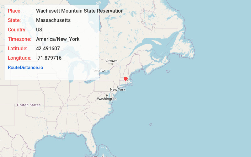
Static map view of Wachusett Mountain State Reservation, Massachusetts
Browse Places by Distance
Places within specific distances from Wachusett Mountain State Reservation
Short Distances
Long Distances
Click any distance to see all places within that range from Wachusett Mountain State Reservation. Distances shown in miles (1 mile ≈ 1.61 kilometers).