Distance to Waconda, Oregon

Calculating Your Route
Just a moment while we process your request...
Location Information
-
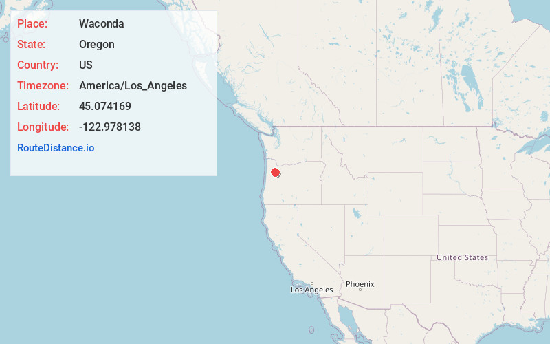
Full AddressWaconda, OR 97303
-
Coordinates45.0741689, -122.9781382
-
LocationWaconda , Oregon , US
-
TimezoneAmerica/Los_Angeles
-
Current Local Time9:25:15 PM America/Los_AngelesSaturday, May 24, 2025
-
Page Views0
About Waconda
Waconda is a historic unincorporated community in Marion County, Oregon, United States, near the crossroads of River Road Rd NE and Waconda Road NE on the French Prairie.
Waconda was once a station on the Oregon Electric Railway and it formerly had a post office by the same name.


Nearby Places
Found 10 places within 50 miles

Brooks
2.0 mi
3.2 km
Brooks, OR
Get directions

Wheatland
3.7 mi
6.0 km
Wheatland, OR 97304
Get directions
St Louis
3.8 mi
6.1 km
St Louis, OR 97026
Get directions
Labish Village
3.8 mi
6.1 km
Labish Village, OR 97305
Get directions
Fairfield
4.4 mi
7.1 km
Fairfield, OR 97026
Get directions

Gervais
4.6 mi
7.4 km
Gervais, OR 97026
Get directions
Lakebrook
4.7 mi
7.6 km
Lakebrook, OR 97303
Get directions
Hazel Green
5.1 mi
8.2 km
Hazel Green, OR 97305
Get directions

Hopewell
5.8 mi
9.3 km
Hopewell, OR 97304
Get directions
North Howell
6.0 mi
9.7 km
North Howell, OR 97381
Get directions
Location Links
Local Weather
Weather Information
Coming soon!
Location Map
Static map view of Waconda, Oregon
Browse Places by Distance
Places within specific distances from Waconda
Short Distances
Long Distances
Click any distance to see all places within that range from Waconda. Distances shown in miles (1 mile ≈ 1.61 kilometers).