Distance to and from Wakulla County, Florida
Wakulla County, FL
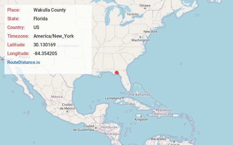
Florida
US
America/New_York
Location Information
-
Full AddressWakulla County, FL
-
Coordinates30.1301689, -84.3542049
-
LocationFlorida , US
-
TimezoneAmerica/New_York
-
Current Local Time7:15:21 PM America/New_YorkSaturday, May 3, 2025
-
Page Views0
Directions to Nearest Cities
About Wakulla County
Wakulla County is a county located in the Big Bend region in the northern portion of the U.S. state of Florida. As of the 2020 census, the population was 33,764. Its county seat is Crawfordville. Wakulla County is part of the Tallahassee, Florida Metropolitan Statistical Area.


Nearby Places
Found 10 places within 50 miles

Crawfordville
4.6 mi
7.4 km
Crawfordville, FL 32327
Get directions

Arran
5.6 mi
9.0 km
Arran, FL 32327
Get directions
Skipper
5.7 mi
9.2 km
Skipper, FL 32346
Get directions
Ivan
6.5 mi
10.5 km
Ivan, Crawfordville, FL 32327
Get directions
Panacea
7.5 mi
12.1 km
Panacea, FL 32346
Get directions
Ashmore
7.6 mi
12.2 km
Ashmore, FL 32358
Get directions

St Marks
9.1 mi
14.6 km
St Marks, FL
Get directions

Sopchoppy
9.4 mi
15.1 km
Sopchoppy, FL 32358
Get directions

Port Leon
9.5 mi
15.3 km
Port Leon, FL
Get directions

Ochlockonee Bay
10.8 mi
17.4 km
Ochlockonee Bay, FL 32346
Get directions
Crawfordville
4.6 mi
7.4 km
Crawfordville, FL 32327
Arran
5.6 mi
9.0 km
Arran, FL 32327
Skipper
5.7 mi
9.2 km
Skipper, FL 32346
Ivan
6.5 mi
10.5 km
Ivan, Crawfordville, FL 32327
Panacea
7.5 mi
12.1 km
Panacea, FL 32346
Ashmore
7.6 mi
12.2 km
Ashmore, FL 32358
St Marks
9.1 mi
14.6 km
St Marks, FL
Sopchoppy
9.4 mi
15.1 km
Sopchoppy, FL 32358
Port Leon
9.5 mi
15.3 km
Port Leon, FL
Ochlockonee Bay
10.8 mi
17.4 km
Ochlockonee Bay, FL 32346
Location Links
Local Weather
Weather Information
Coming soon!
Location Map
Static map view of Wakulla County, Florida
Browse Places by Distance
Places within specific distances from Wakulla County
Short Distances
Long Distances
Click any distance to see all places within that range from Wakulla County. Distances shown in miles (1 mile ≈ 1.61 kilometers).